
Geography is often mistaken as merely the study of maps and place names. In reality, it is a dynamic discipline that investigates the relationships between people, environments, and spaces. At the heart of modern geographic inquiry lies a powerful concept: “the why of where.” This phrase captures the essence of spatial analysis—the pursuit of understanding not just *where* things are, but *why* they are located there and what consequences arise from those locations.
The “why of where” transcends memorization; it invites critical thinking about patterns, processes, and interdependencies across space. From urban planning to climate change response, this framework helps decode complex global challenges by focusing on spatial reasoning and context.
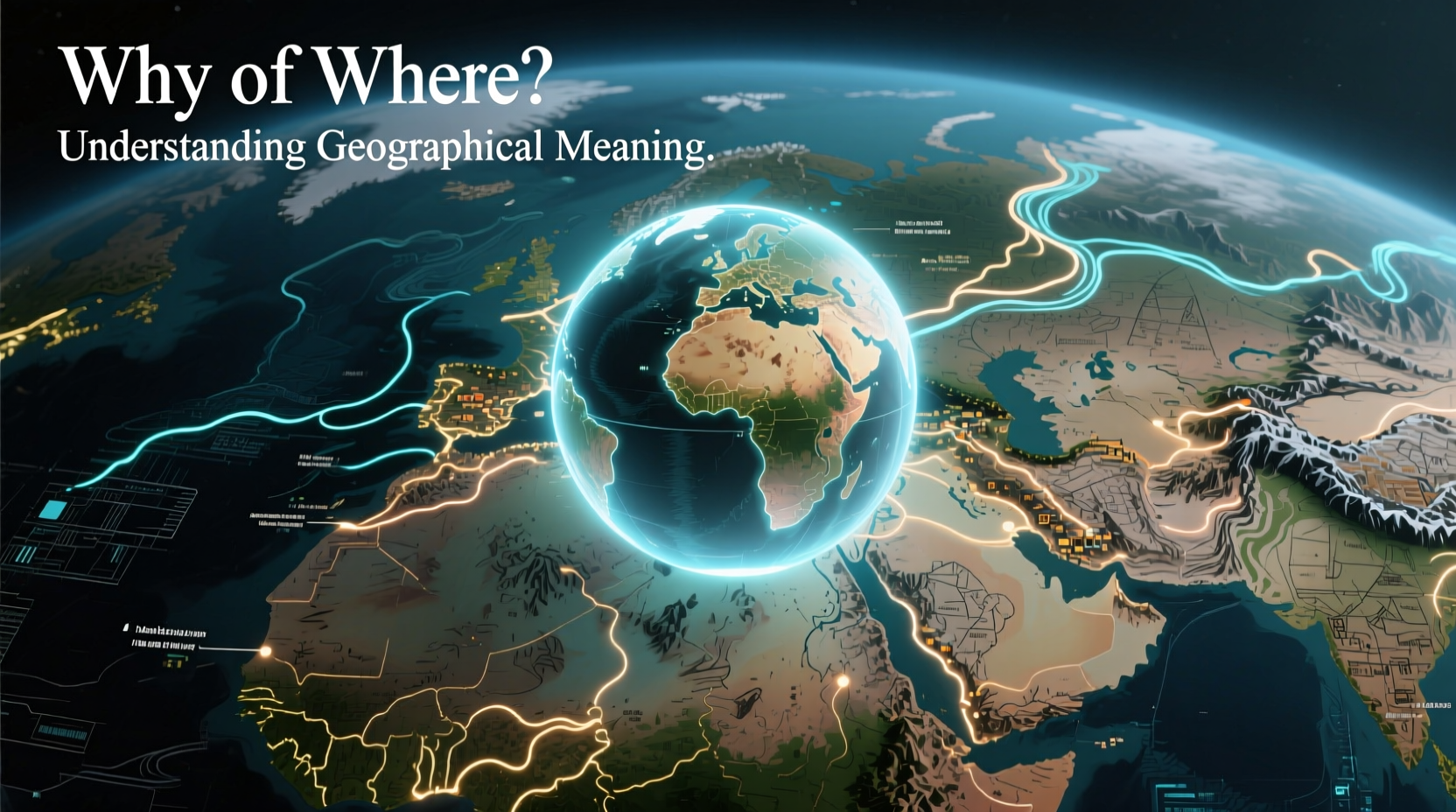
What Does “The Why of Where” Really Mean?
At its core, “the why of where” refers to the investigation of spatial patterns and the underlying causes behind them. It’s a shift from descriptive geography—naming rivers, mountains, or cities—to analytical geography, which asks deeper questions:
- Why do cities form in certain locations and not others?
- Why are agricultural zones concentrated in specific regions?
- Why do conflicts often emerge along particular borders?
- Why are hospitals or schools unequally distributed across communities?
This approach emphasizes causality and connectivity. For example, knowing that most megacities are located near coastlines is useful—but understanding *why* (access to trade routes, historical port development, economic globalization) reveals far more about human behavior and decision-making over time.
“Geography is not just about places on a map. It's about understanding the forces that shape those places.” — Dr. Susan Hanson, Distinguished Geographer and Professor Emerita, Clark University
The Role of Space and Place in Human Decisions
Every human action occurs within a spatial context. Whether choosing where to build a factory, plant crops, or establish a refugee camp, decisions are influenced by physical features, infrastructure, political boundaries, and socio-economic conditions.
Consider the placement of renewable energy farms. Solar plants are typically located in arid, sun-drenched regions like the southwestern United States or northern Chile. Wind farms cluster in coastal areas or elevated plains with consistent wind flow. These aren’t random choices—they reflect an optimization of natural resources, land availability, proximity to transmission lines, and regulatory policies.
Similarly, retail chains use geographic information systems (GIS) to determine store locations based on demographic data, traffic patterns, and competitor proximity. The success of a business may hinge entirely on answering the “why of where” correctly.
Spatial Thinking Across Disciplines
The “why of where” isn’t confined to geography classrooms. It has become essential in fields such as public health, economics, disaster management, and environmental science.
Public Health: Mapping Disease Outbreaks
During the 1854 cholera outbreak in London, physician John Snow famously mapped cases around a contaminated water pump on Broad Street. By visualizing the spatial clustering of illness, he deduced that the source was not “bad air,” as commonly believed, but polluted water. His work laid the foundation for modern epidemiology and demonstrated how spatial analysis can reveal hidden causes.
Environmental Management: Protecting Biodiversity Hotspots
Conservationists prioritize areas with high species endemism and habitat loss. Understanding *why* certain regions harbor unique biodiversity—such as tropical rainforests near the equator due to stable climate and high solar input—helps direct limited resources effectively. Location determines vulnerability, resilience, and intervention strategy.
Urban Planning: Designing Equitable Cities
Cities grow unevenly. Some neighborhoods enjoy green spaces, reliable transit, and quality housing; others face pollution, overcrowding, and disinvestment. Planners who apply the “why of where” examine historical redlining, zoning laws, transportation networks, and income distribution to address inequities systematically.
Key Factors Influencing Spatial Patterns
Several interconnected factors explain why phenomena occur where they do. These include:
| Factor | Description | Example |
|---|---|---|
| Physical Environment | Natural features like terrain, climate, water sources | Rice cultivation in river deltas due to fertile soil and abundant water |
| Economic Forces | Markets, labor costs, access to capital | Manufacturing hubs in Southeast Asia due to lower production costs |
| Political Boundaries | National borders, regulations, governance | Tax-free zones attracting businesses across international borders |
| Social & Cultural Dynamics | Migration patterns, language, religion | Enclaves like Chinatowns forming through immigration and community support |
| Technological Access | Digital connectivity, transportation infrastructure | Telecommuting rising in suburban areas with reliable broadband |
No single factor operates in isolation. A city’s growth, for instance, might be fueled by a port (physical), supported by trade policies (political), driven by job opportunities (economic), and shaped by migrant populations (social). The power of the “why of where” lies in integrating these dimensions into a coherent spatial narrative.
Mini Case Study: Why Silicon Valley?
Silicon Valley did not become a global tech hub by accident. Its rise illustrates the “why of where” in action.
In the mid-20th century, Stanford University began leasing land for technology firms, fostering innovation through academia-industry collaboration. Proximity to skilled labor from top universities, venture capital in nearby San Francisco, a mild climate attractive to workers, and supportive state policies created a self-reinforcing ecosystem.
Over time, agglomeration economies took hold: companies clustered because suppliers, talent, and investors were already present. Even today, despite high living costs, new startups continue to locate there—not because it’s the cheapest place, but because the spatial concentration of resources reduces risk and accelerates growth.
This case shows that location isn’t just about coordinates—it’s about cumulative advantage built over decades through strategic alignment of multiple factors.
How to Develop Your Own “Why of Where” Mindset
Anyone can begin applying spatial thinking to everyday observations. Here’s a step-by-step guide:
- Observe a spatial pattern – Notice where things are located (e.g., coffee shops, parks, homeless shelters).
- Ask “why here?” – Consider possible explanations: foot traffic, rent prices, zoning laws.
- Gather evidence – Use maps, census data, or local knowledge to test your hypotheses.
- Analyze connections – Link the location to broader systems (transportation, economy, environment).
- Predict changes – How might this pattern shift with new developments, policies, or climate impacts?
FAQ: Common Questions About the Why of Where
Why is the “why of where” important in education?
It teaches students to think critically about their world. Instead of rote memorization, they learn to analyze causes and effects in space, preparing them for careers in planning, research, and policy-making.
Can the “why of where” help solve global problems?
Absolutely. Climate adaptation, pandemic response, and food security all depend on understanding spatial vulnerabilities and resource distribution. Knowing where risks are highest—and why—enables smarter interventions.
Is this concept only relevant to physical geography?
No. While rooted in spatial science, the “why of where” applies equally to human geography—migration, cultural diffusion, economic development—and hybrid fields like geoinformatics and urban analytics.
Checklist: Applying the Why of Where in Daily Life
- When traveling, observe settlement patterns and guess their origins before researching.
- Analyze news stories involving location—protests, disasters, development projects—with a spatial lens.
- Use digital maps to compare income levels, park access, or pollution across neighborhoods.
- Question assumptions: Is a problem really isolated, or is it linked to surrounding areas?
- Advocate for data-informed decisions in community planning or school projects.
Conclusion: Think Locally, Analyze Globally
The “why of where” transforms passive observation into active understanding. It empowers individuals to see beyond surfaces and uncover the forces shaping our world. Whether you're a student, policymaker, or curious citizen, cultivating spatial awareness allows you to make better decisions, challenge inequities, and contribute meaningfully to discussions about sustainability, justice, and progress.


 浙公网安备
33010002000092号
浙公网安备
33010002000092号 浙B2-20120091-4
Comments
No comments yet. Why don't you start the discussion?