
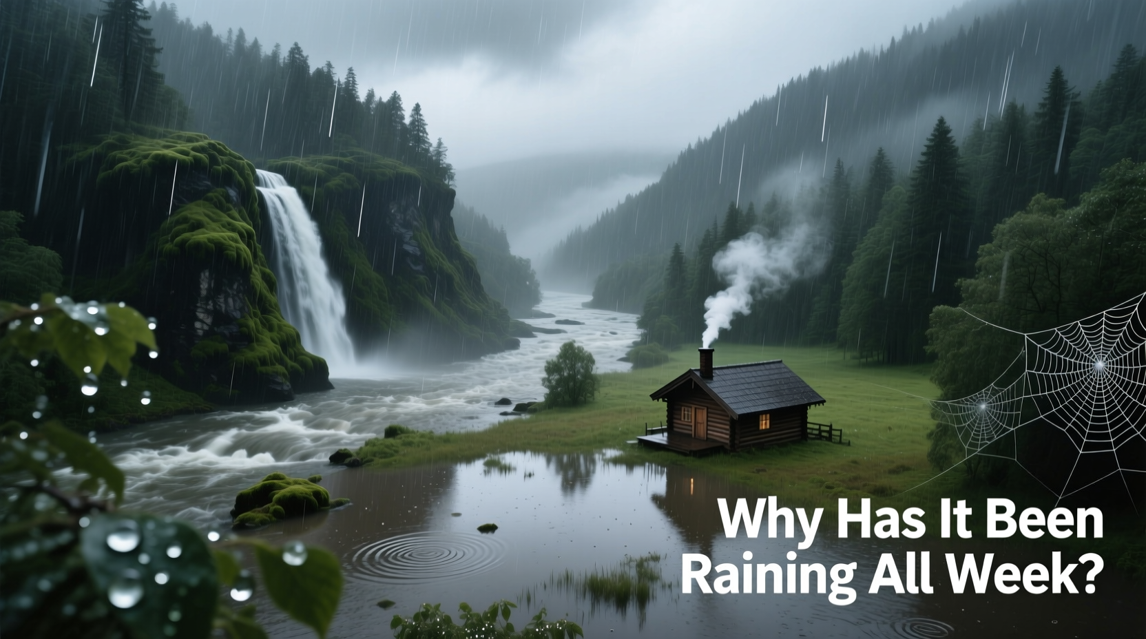
If you've stepped outside this week only to be greeted by yet another gray sky and steady drizzle, you're not alone. Persistent rain can feel relentless—disrupting plans, dampening moods, and raising questions. Why does it seem like the clouds won’t move on? While rain is a natural part of Earth’s water cycle, extended downpours are often the result of complex atmospheric conditions that lock weather systems in place. Understanding these mechanisms helps demystify what feels like an endless storm.
The Science Behind Prolonged Rainfall
Persistent rain occurs when specific meteorological conditions align to keep moisture-laden air over a region for days or even weeks. Unlike brief thunderstorms driven by localized convection, sustained rainfall typically stems from large-scale weather patterns. One of the most common culprits is a stalled frontal system.
A cold front moving into warm, moist air can create prolonged precipitation if it slows or stops. When high-pressure systems block the progression of low-pressure zones, the resulting \"weather jam\" keeps rain over the same area. This phenomenon is especially common in temperate regions during transitional seasons like spring and fall.
Another key factor is atmospheric rivers—long, narrow bands of moisture that transport water vapor from tropical oceans toward mid-latitudes. When these rivers make landfall and stall, they can deliver days of heavy rain. The U.S. West Coast frequently experiences this during winter storms originating in the Pacific.
Climate Patterns That Influence Extended Wet Spells
Beyond daily weather, broader climate oscillations play a significant role in multi-day rain events. Three major patterns—El Niño-Southern Oscillation (ENSO), the North Atlantic Oscillation (NAO), and the Madden-Julian Oscillation (MJO)—can shift jet streams and pressure systems, altering regional rainfall duration and intensity.
During an El Niño event, for example, warmer-than-average sea surface temperatures in the central and eastern Pacific Ocean strengthen the subtropical jet stream across the southern United States. This often leads to repeated storm systems and prolonged rainy periods in states like California and Texas.
Likewise, a negative phase of the NAO can cause the jet stream to dip southward over the eastern U.S. and Europe, increasing the frequency of slow-moving cyclones and extended rainfall. These large-scale shifts don't just affect one week—they can set the tone for entire seasons.
“Persistent rain isn’t random. It’s often the fingerprint of larger climate drivers interacting with local topography.” — Dr. Lena Patel, Climatologist at the National Weather Center
Geographical and Topographical Amplifiers
Where you live influences how long rain lasts. Mountain ranges, coastlines, and large bodies of water can enhance or prolong rainfall through orographic lift and lake-effect mechanisms.
Orographic lift happens when moist air is forced upward by mountains. As the air rises, it cools and condenses, forming clouds and rain on the windward side. If winds remain steady, this process can continue for days. The Pacific Northwest of the U.S. and western Norway are classic examples where terrain amplifies rainfall duration.
Coastal areas near warm ocean currents also experience longer rainy spells. Warm water evaporates more readily, feeding moisture into passing weather systems. Cities like Seattle or Dublin often see extended drizzle not because of intense storms, but due to a constant supply of maritime humidity meeting cooler continental air.
Step-by-Step: How a Week-Long Rain Event Unfolds
Understanding the timeline of persistent rain helps illustrate how multiple factors converge:
- Moisture Build-Up: Warm ocean surfaces increase evaporation, loading the atmosphere with water vapor.
- Frontal Convergence: A cold front meets warm, humid air, creating instability and initial showers.
- System Stall: High-pressure ridges to the north or east block the front’s movement, halting its progress.
- Continuous Feed: Winds continue pulling moisture from oceans, replenishing the storm system.
- Prolonged Output: Rain falls steadily for days, with only brief breaks as new waves pass through the stalled zone.
- Dissipation: Eventually, the blocking pattern weakens, allowing the system to move out and skies to clear.
Real-World Example: The 2023 Pacific Northwest Deluge
In January 2023, parts of Washington and British Columbia experienced over seven consecutive days of rain, leading to flooding and landslides. Meteorologists traced the event to a powerful atmospheric river anchored by a strong ridge of high pressure over Alaska. This ridge deflected the jet stream southward, funneling tropical moisture directly into the region.
With no path forward due to the blocking pattern, the storm lingered. Local rivers exceeded flood stages, and saturated soils triggered slope failures. Emergency officials noted that while individual storms weren’t record-breaking, the cumulative effect of uninterrupted rain created exceptional damage.
This case underscores that duration matters as much as intensity. Even moderate rainfall, when sustained, can overwhelm drainage systems and alter landscapes.
Do’s and Don’ts During Persistent Rain
| Do | Don't |
|---|---|
| Check local flood warnings regularly | Drive through flooded roadways |
| Clean gutters and drains to prevent backups | Ignore signs of basement seepage |
| Use dehumidifiers indoors to reduce mold risk | Leave outdoor furniture or electronics exposed |
| Stay informed via trusted weather apps or radio | Assume light rain poses no danger |
When to Expect Relief—and When Not To
Weather models can now predict stalled systems up to a week in advance, giving communities time to prepare. However, small changes in upper-level winds can extend a rainy spell unexpectedly. If a high-pressure system fails to build in the forecasted location, the rain continues.
Climate change is also influencing the frequency of persistent rain. Warmer air holds more moisture—about 7% more per degree Celsius of warming—increasing the potential for heavier, longer-lasting precipitation. Studies show that extreme rainfall events have become more common in many regions, particularly in mid-latitudes.
Frequently Asked Questions
Is persistent rain a sign of climate change?
While no single weather event can be solely attributed to climate change, scientific consensus indicates that global warming increases the likelihood and severity of prolonged rainfall. Higher sea surface temperatures and increased atmospheric moisture contribute to more intense and enduring storms.
Can cities influence how long it rains?
Cities don’t cause rain, but urban heat islands can slightly modify local weather. The warmth generated by buildings and pavement may enhance convection, potentially intensifying rainfall downwind of metropolitan areas. However, they do not significantly extend the duration of large-scale rainy periods.
How can I protect my home during extended rain?
Inspect roof integrity, ensure proper grading around foundations, and install sump pumps if you’re in a flood-prone area. Inside, use moisture absorbers and ventilate bathrooms and kitchens to prevent mold growth caused by high indoor humidity.
Conclusion: Staying Informed and Prepared
Persistent rain is more than an inconvenience—it’s a window into the complex interplay of global climate systems, regional geography, and atmospheric dynamics. Whether caused by a stalled front, an atmospheric river, or a shifting jet stream, extended wet periods are becoming more frequent and impactful.
By understanding the science behind these events, recognizing warning signs, and taking practical steps to prepare, you can navigate rainy weeks with greater confidence and safety. Don’t wait for the next downpour to assess your readiness. Use this knowledge now to safeguard your home, health, and plans against the next prolonged storm.


 浙公网安备
33010002000092号
浙公网安备
33010002000092号 浙B2-20120091-4
Comments
No comments yet. Why don't you start the discussion?