
The nautical mile stands apart from the standard statute mile not by accident, but by necessity. While most people measure distance on land in feet, meters, or miles, mariners and aviators rely on the nautical mile for precision across vast, featureless expanses of ocean and sky. Its difference isn’t arbitrary—it’s rooted in Earth’s geometry, centuries of navigational practice, and the need for accuracy when even small miscalculations can lead to disaster. Understanding why a nautical mile is different means understanding how humans learned to navigate our planet using the stars, angles, and the very shape of the Earth.
The Geometric Foundation: Latitude and the Earth's Shape
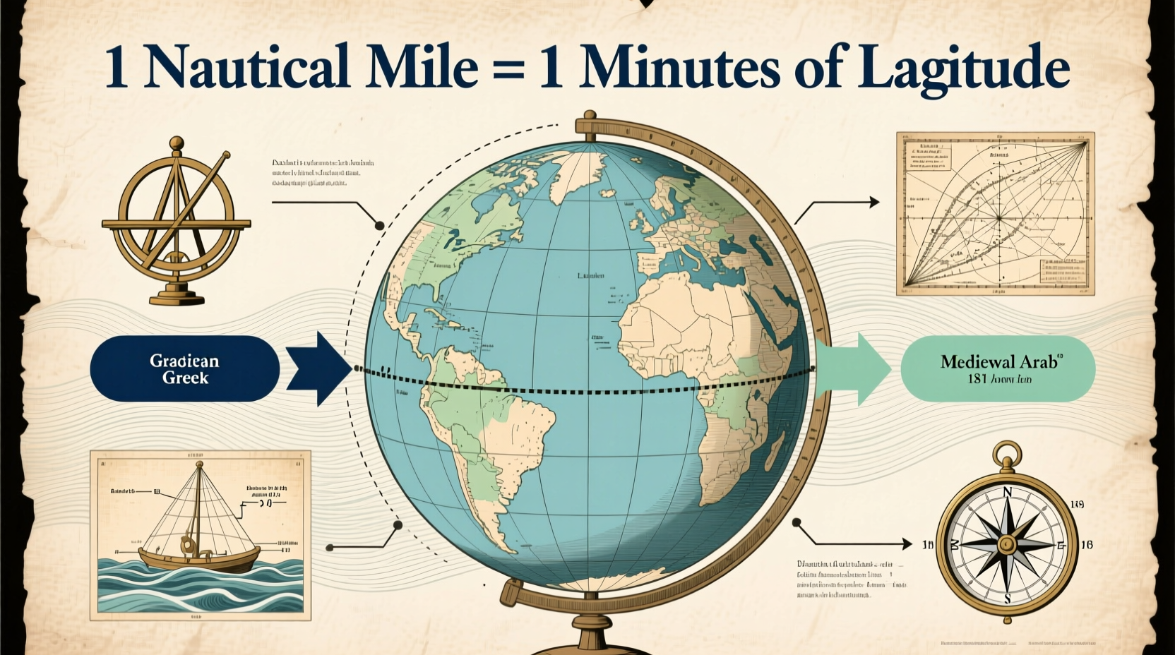
At its core, the nautical mile is defined by the Earth’s curvature. One nautical mile equals exactly one minute of latitude—one-sixtieth (1/60) of one degree. Since the Earth is roughly spherical, lines of latitude run parallel to the equator and are evenly spaced from pole to pole. This makes them ideal for measuring distance north or south.
Early navigators realized that if they could determine their latitude—using tools like the astrolabe, cross-staff, or later the sextant—they could estimate how far they had traveled. A change of one minute in latitude corresponded to a consistent distance, regardless of location. That consistency led to the formal adoption of the nautical mile as 1,852 meters (approximately 6,076 feet), which is about 15% longer than the statute mile (5,280 feet).
“Navigation demands units tied to the planet itself. The nautical mile isn’t just a measurement—it’s a direct expression of Earth’s geometry.” — Captain Lydia Tran, Maritime Historian & Navigation Instructor
Historical Evolution: From Rope Knots to International Standards
The use of angular measurement for navigation dates back to ancient seafarers, but the modern concept of the nautical mile began taking shape in the 17th century. Early sailors used a method called “heaving the log,” where a wooden board attached to a rope with evenly spaced knots was thrown overboard. By counting how many knots passed through a sailor’s hands in a set time (measured with an hourglass), they estimated speed in “knots”—a term still used today, where one knot equals one nautical mile per hour.
However, because different nations used slightly different measurements for the nautical mile based on their own calculations of Earth’s circumference, inconsistencies arose. For example:
| Country | Nautical Mile (meters) | Year Adopted |
|---|---|---|
| United Kingdom | 1,853.18 | 1929 (before standardization) |
| United States | 1,853.25 | Prior to 1954 |
| France | 1,851.85 | Based on metric arcminute |
| International Standard | 1,852 | 1929 / reaffirmed 1954 |
To resolve these discrepancies, the First International Extraordinary Hydrographic Conference convened in Monaco in 1929. Delegates agreed to standardize the nautical mile as exactly 1,852 meters. This definition was later adopted by the International Civil Aviation Organization (ICAO) and remains the global standard today.
Why Not Use the Statute Mile at Sea?
The statute mile—used in countries like the United States for road distances—originated from Roman measurements (the “mille passus” or “thousand paces”). It has no relationship to Earth’s dimensions. At sea or in the air, where precise angular positioning is critical, using a unit disconnected from latitude and longitude would introduce unnecessary complexity and error.
Consider this: plotting a course across the Atlantic using degrees and minutes of latitude becomes seamless when each minute equals one nautical mile. If navigators had to convert constantly between arbitrary land units and geographic coordinates, the risk of miscalculation increases significantly—especially before digital systems.
Modern GPS systems still use nautical miles and knots because aviation and maritime charts are built around them. Air traffic controllers, ship captains, and pilots rely on standardized approach patterns, fuel calculations, and separation distances—all expressed in nautical units.
Practical Applications in Modern Navigation
Today, the nautical mile remains essential across multiple domains:
- Maritime Navigation: Ships use nautical charts where distances between ports, hazards, and waypoints are marked in nautical miles.
- Aviation: Flight plans, altitude clearances, and holding patterns are calculated using nautical miles and knots.
- Military Operations: Naval fleets and reconnaissance missions depend on precise geospatial measurements tied to global coordinate systems.
- Search and Rescue: Emergency response zones are often defined in radiuses of nautical miles from a last known position.
A real-world example illustrates its importance: In 2019, a cargo vessel departing from Rotterdam miscalculated its turning point due to confusion between statute and nautical miles on an outdated chart overlay. The ship veered off course, risking grounding in shallow waters. Fortunately, the error was caught by a bridge officer cross-checking GPS data in nautical units. This incident underscores why consistent use of the nautical mile prevents costly and dangerous errors.
Step-by-Step: How Navigators Use Nautical Miles Today
- Determine current position using GPS or celestial navigation, recorded in degrees and minutes of latitude and longitude.
- Plot the destination on a nautical chart, noting the difference in latitude minutes.
- Calculate distance by counting the minutes of latitude between points—each equal to one nautical mile.
- Factor in speed (in knots) to estimate time en route.
- Adjust for currents or wind using additional navigational tools, but maintain primary reference in nautical units.
Common Misconceptions and Clarifications
Many assume the nautical mile was invented simply to confuse students or make maritime work seem more complex. In reality, it emerged from practical needs. Another misconception is that it varies by location. While the Earth is slightly flattened at the poles (an oblate spheroid), the international nautical mile is a fixed length—1,852 meters—for consistency, even though a true minute of latitude varies from about 1,843 meters at the equator to 1,862 meters at the poles.
The compromise of using a fixed value ensures uniformity without sacrificing meaningful accuracy for most purposes.
Checklist: Ensuring Accurate Use of Nautical Measurements
- ✅ Always verify whether your chart or GPS system displays distances in nautical miles or statute miles.
- ✅ Convert speeds correctly: 1 knot = 1 nautical mile per hour.
- ✅ Use nautical charts for marine and aerial navigation—never road maps.
- ✅ Double-check unit settings on electronic devices before departure.
- ✅ Teach crew or students the historical context to reinforce proper usage.
Frequently Asked Questions
Is a nautical mile longer than a regular mile?
Yes. One nautical mile equals 1,852 meters or approximately 6,076 feet, while a statute (land) mile is 5,280 feet. That makes the nautical mile about 15% longer.
Why do airplanes use nautical miles?
Airplanes use nautical miles because aviation relies on global coordinate systems (latitude and longitude). Using a unit tied to Earth’s geometry simplifies navigation, improves safety, and aligns with international standards used in air traffic control.
How did the term “knot” originate?
Sailors historically measured speed by throwing a log attached to a knotted rope overboard. The number of knots that unspooled in 30 seconds indicated the ship’s speed. This method gave rise to the term “knot” as a unit of speed equal to one nautical mile per hour.
Conclusion: Embracing Precision in a Global System
The nautical mile is more than a quirky exception to the miles we use on land—it’s a testament to human ingenuity in mastering the open ocean and skies. Born from astronomy, refined by centuries of seafaring, and standardized for global cooperation, it remains indispensable in modern transportation. Whether you're a pilot preparing for takeoff, a sailor crossing an ocean, or simply curious about how we measure our world, understanding the nautical mile connects you to a legacy of exploration and precision.


 浙公网安备
33010002000092号
浙公网安备
33010002000092号 浙B2-20120091-4
Comments
No comments yet. Why don't you start the discussion?