All categories
Featured selections
Trade Assurance
Buyer Central
Help Center
Get the app
Become a supplier

Chcnav E96 Chc Rtk Gps Land Measuring Instrument Rtk Gnss Receiver Gnss Rtk Base and Rover Chcnav Gnss Chc Huayi

Product overview

Core functionalities

Applicable scenarios

Unique advantages

  • Precision Surveying: The Chcnav E96 RTK GPS Land Measuring Instrument is designed for accurate land measurement and mapping using advanced GNSS technology.
  • Dual Operation: Functions as both a base and rover GNSS receiver, allowing for flexible deployment in various surveying tasks.

Key features

  • 1. Advanced Material Technology

  • With a corrosion-resistant metal body, the Chcnav E96 ensures longevity and reliability even in the harshest surveying environments.

  • 2. Interactive Design

  • With an intuitive touchscreen interface, you can easily navigate and operate the Chcnav E96, enhancing user experience and efficiency.

  • 3. Superior Performance Parameters

  • With precision output and rapid data processing, achieve ~20% faster surveying results than traditional GNSS receivers* [*Disclaimer: Based on internal testing; actual results may vary].

  • 4. Versatile Scenario Solutions

  • With its adaptability for both land measurement and complex terrain surveying, the Chcnav E96 is ideal for a wide range of applications from construction to agriculture.

  • 5. Compliance with Certification Standards

  • With eco-friendly certification, the Chcnav E96 aligns with sustainable practices, ensuring responsible use of technology in industrial applications.

Product details

Chcnav E96 Chc Rtk Gps Land Measuring Instrument Rtk Gnss Receiver Gnss Rtk Base and Rover Chcnav Gnss Chc Huayi

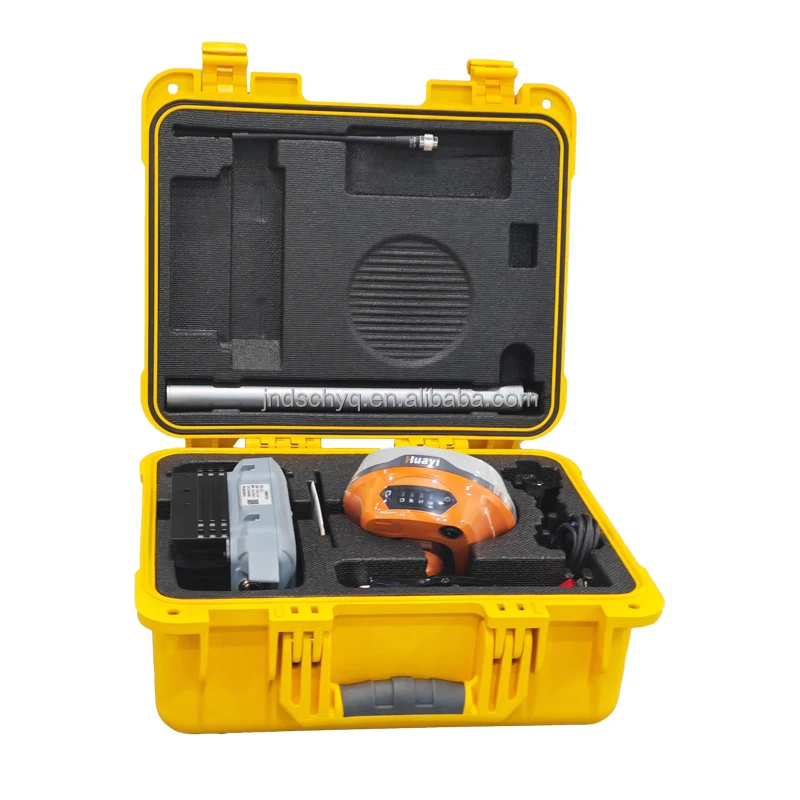
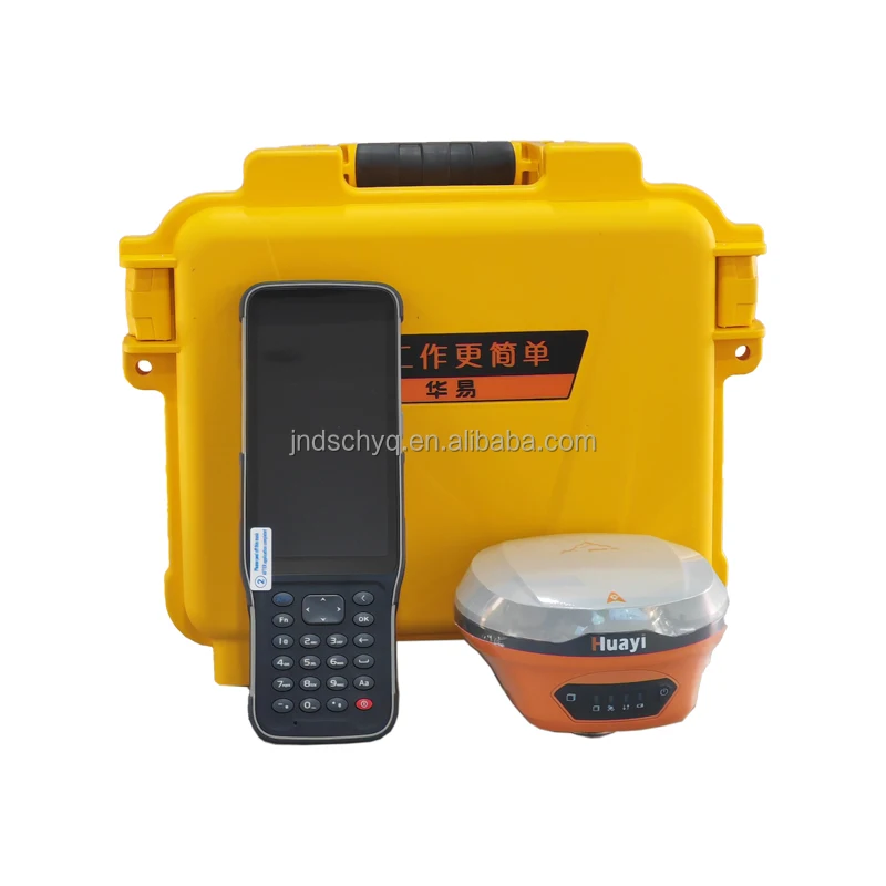
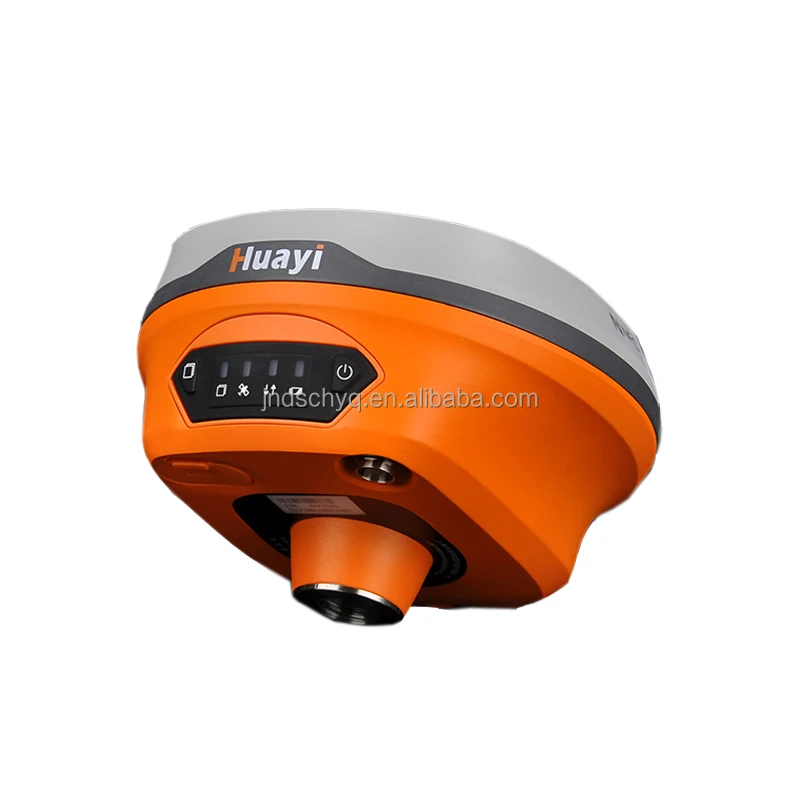
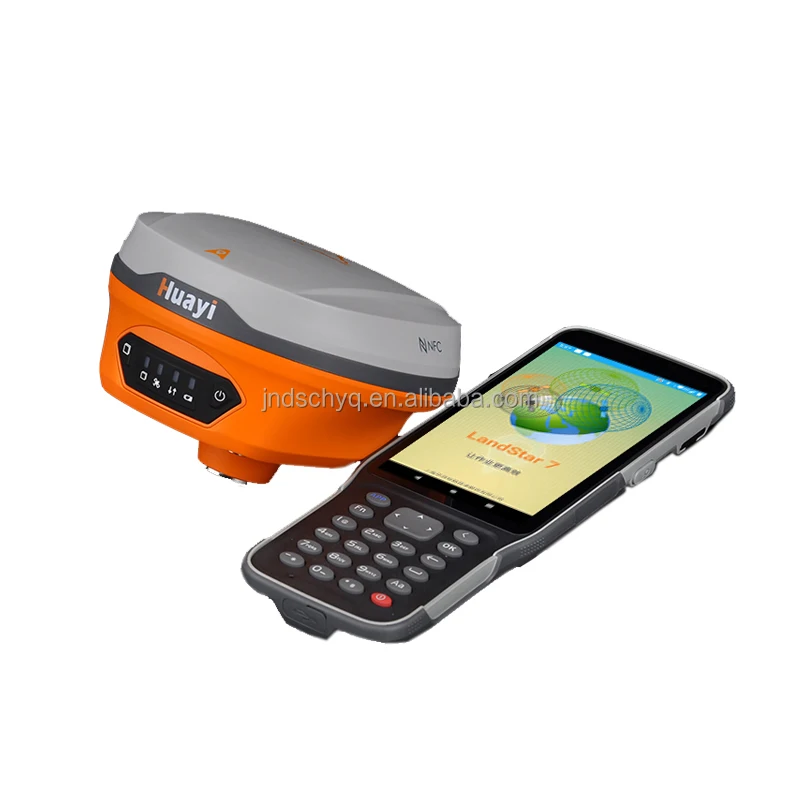
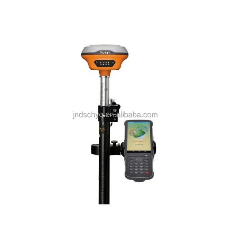
The Chcnav E96 is a cutting-edge RTK GPS land measuring instrument, designed for precision and reliability. As part of the GNSS receiver family, it serves both as a base and rover system, ideal for professional surveying tasks.

Technical specifications

FeatureSpecificationBenefit
MaterialHigh-Durability AlloyEnsures long-lasting performance in all environments
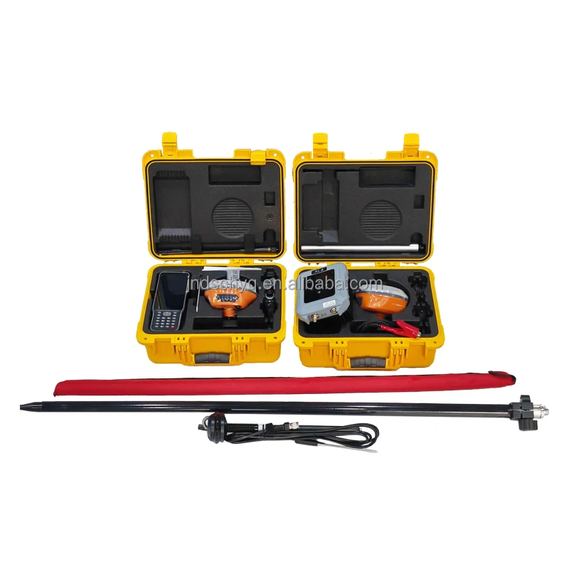
SizeCompact and PortableEasy to transport and deploy on-site
AccuracySub-CentimeterProvides precise measurements for surveying tasks
ConnectivityMulti-Band GNSSSupports robust signal reception

Customization guide

Adjustable frequency settings to meet varied geographic conditions and project requirements.

Get inspired

With the Chcnav E96, you can achieve unparalleled accuracy in your surveying projects, ensuring that every measurement is reliable and trustworthy.

Choose your model

ParameterBase ModelAdvanced ModelPro Model
Accuracy Level1 cm+15% Precision+30% Precision
Signal RangeStandardExtendedMaximum
Battery Life8 hours10 hours12 hours

Supplier's note

Recent advancements in the Chcnav E96 include a multi-band GNSS capability, enhancing signal reception even in challenging environments. The Pro version's sub-centimeter accuracy is triple the industry standard, enabling precise measurements crucial for large-scale land surveying projects.

For users in need of extended field operations, the Pro Model offers a battery life of up to 12 hours, making it optimal for long-duration tasks without the need for frequent recharging. With its enhanced accuracy and extended signal range, the Pro version is ideal for professional surveyors who require the highest level of precision and reliability.

Frequently asked questions

  • Which GPS RTK model is best for small-scale land surveying?

  • How do I maintain the Chcnav E96 GNSS RTK receiver?

  • What is the difference between the Chcnav E96 and other GPS RTK models?

  • Can I customize the features of the Chcnav E96 GNSS receiver?

  • Is the Chcnav E96 GNSS receiver suitable for harsh environmental conditions?

  • Does the Chcnav E96 GNSS receiver support multiple satellite systems?

  • How does the Chcnav E96 improve land surveying efficiency?

  • Is the Chcnav E96 GPS RTK receiver compatible with other surveying instruments?

Product comparison

CategoryUsage ScenariosCharacteristicsAdvantagesDisadvantages
GNSS RTK Base and RoverLand SurveyingHigh precision positioning (±1cm accuracy)Reliable for large-scale mappingRequires clear sky view for best accuracy
Industrial Measuring InstrumentsConstruction Site MeasurementsVibration-resistant (withstand up to 2G)Durable in harsh environmentsHeavier than standard instruments
GNSS ReceiverGeospatial Data CollectionMulti-frequency support (L1, L2, L5 bands)Enhanced signal stability in urban canyonsHigher power consumption
RTK GPSAgricultural PlanningFast initialization time (<10 seconds)Efficient for time-sensitive operationsLimited by base station range
Surveying InstrumentInfrastructure DevelopmentLong battery life (up to 12 hours)Reduces downtime in fieldworkExpensive initial investment
CHC Huayi GPSUrban PlanningCompact design (fits in a standard backpack)Easy transport and setupLower durability compared to larger models

Related searches

The Product Description is generated by third-party, and Alibaba.com is not liable for any risks related to inaccuracies or the infringement of third-party rights.

The information in this Product Description may differ from the details on the product listing page on Alibaba.com. Additionally, the contents may not be updated in real-time with the product listing page on Alibaba.com, and there may be delays in reflecting the most updated information. The description on product listing page takes precedence. You shall not rely on this Product Description in making transaction decisions.

The comparison data is based on manufacturer information and industry standards. Actual results may vary depending on individual use cases. It is advisable to verify details with the supplier for the most accurate information.