All categories
Featured selections
Trade Assurance
Buyer Central
Help Center
Get the app
Become a supplier
Customization:
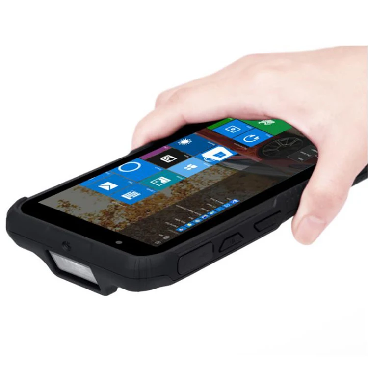
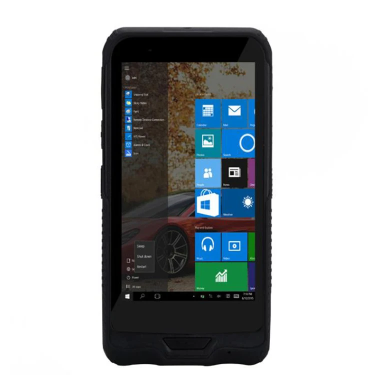
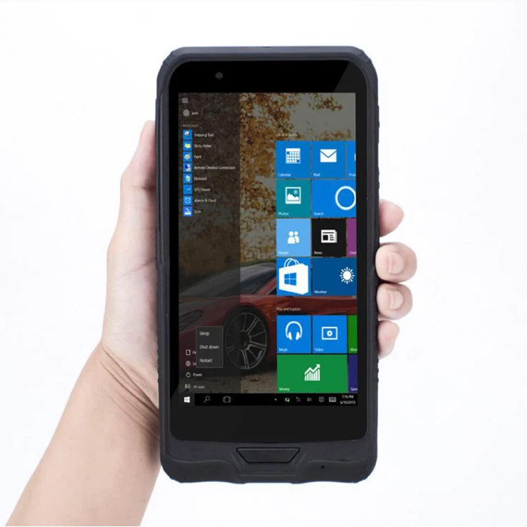
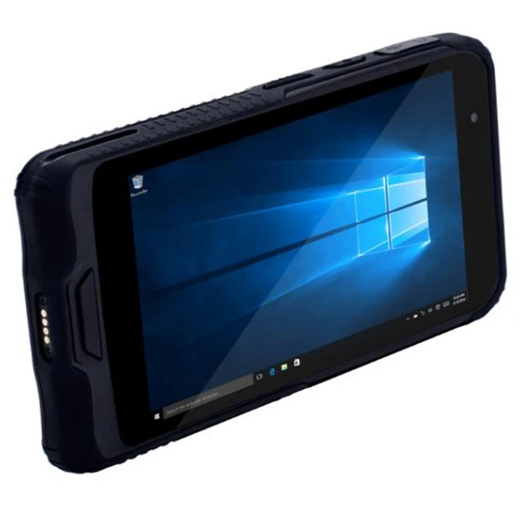
The GPS Survey Basemap and USB Cable Handheld is a rugged, high-performance tablet designed for demanding environments. Built with shock-resistant materials and advanced connectivity features, it combines durability with Windows 10 compatibility for seamless software integration.
| Feature | Specification | Application Scenario |
|---|---|---|
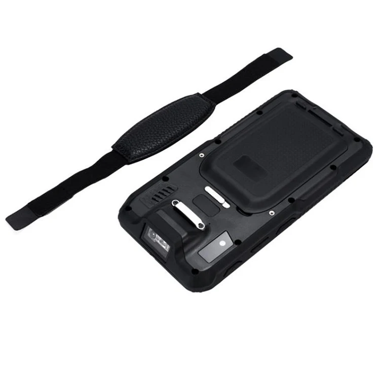
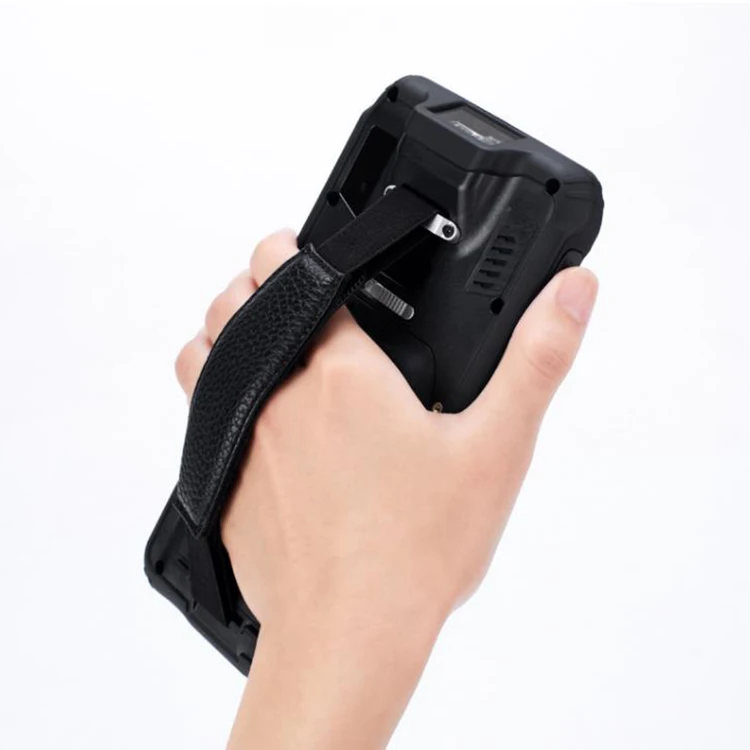
| Material | Durable rubber composite | Withstands drops, impacts, and extreme temperatures in construction sites. |
| Screen | 10.1" Full HD (1920x1200) touchscreen | Clear visibility for outdoor fieldwork and data visualization. |
| OS | Windows 10 Pro | Runs complex software for surveying, mapping, and enterprise applications. |
| Connectivity | USB-C, Wi-Fi 6, Bluetooth 5.0, GPS | Enables real-time data transfer and location tracking in remote areas. |
| Durability | IP65 rating (dust/water resistant) | Operates reliably in dusty or wet conditions like mining or agriculture. |
| Battery | 8,000 mAh (8 hours runtime) | Sustains long field operations without recharging. |
Adjustable parameters:
With its rugged design and Windows 10 compatibility, this tablet empowers professionals to tackle harsh environments. With chemical-resistant rubber casing, you can ensure durability in corrosive settings. With GPS precision, you can map survey points in remote terrains. With IP65 certification, you can operate confidently in dust or rain.
| Parameter | Base Model | Advanced Model | Pro Model |
|---|---|---|---|
| Durability | IP54 (dust/water) | IP65 (enhanced) | IP68 (submersion-proof) |
| Battery Life | 8 hours | 12 hours | 24 hours |
| Screen Resolution | 1080p | 2K (2160x1440) | 4K (3840x2160) |
| Processing Power | Quad-core 2.0GHz | Hexa-core 2.5GHz | Octa-core 3.0GHz |
Three Technical Breakthroughs:
Optimal Version Selection:

The Product Description is generated by third-party, and Alibaba.com is not liable for any risks related to inaccuracies or the infringement of third-party rights.
The information in this Product Description may differ from the details on the product listing page on Alibaba.com. Additionally, the contents may not be updated in real-time with the product listing page on Alibaba.com, and there may be delays in reflecting the most updated information. The description on product listing page takes precedence. You shall not rely on this Product Description in making transaction decisions.
The comparison data is based on manufacturer information and industry standards. Actual results may vary depending on individual use cases. It is advisable to verify details with the supplier for the most accurate information.