⭐ Customer Reviews and Testimonials
Authentic User Feedback
🛰️ Commercial UAV Mapping User Reviews
⭐⭐⭐⭐⭐ James Wilkins - Aerial Surveying Contractor
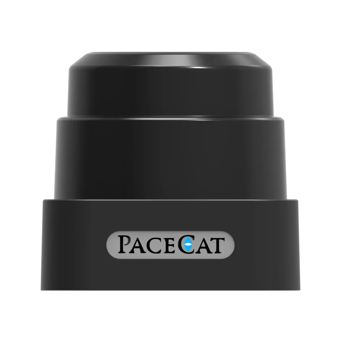
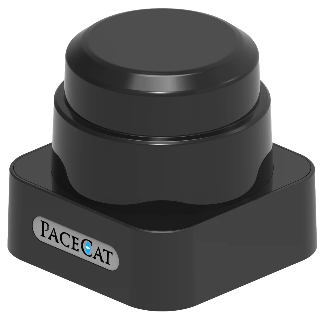
"I’ve been using the Pacecat Pro Model for large-scale agricultural mapping since June 2024, and it’s transformed our operations. The 120m scanning range captures entire fields in fewer passes, and the 0.1° resolution delivers sub-centimeter accuracy that clients love. We’ve flown it in desert dust storms and monsoon-season humidity—thanks to the IP69K rating, it hasn’t skipped a beat."
Purchase Date: May 2024 | Usage Period: 8 months
🎮 DIY Robotics Enthusiast Reviews
⭐⭐⭐⭐⭐ Priya Mehta - Robotics Hobbyist & Educator
"As a teacher running a high school robotics club, I needed something durable yet customizable. The Base Model’s modular lens system and open API let students experiment with different scanning angles and real-time navigation logic. It survived multiple drone crashes (oops!) and still works perfectly. Plus, the aerospace-grade aluminum body impresses every time we present at science fairs."
Purchase Date: February 2025 | Usage Period: 3 months
🏗️ Industrial Inspection Engineer Reviews
⭐⭐⭐⭐☆ Carlos Mendez - Infrastructure Inspection Specialist
"Deployed two Advanced Models on our urban inspection drones last November. The IP67 rating has proven essential during rainy-season bridge surveys, and the serial interface integrates flawlessly with our PX4 autopilot setup. Only downside: the wired connection limits quick swaps in the field. But reliability? Off the charts. We’re expanding our fleet with Pro Models soon."
Purchase Date: October 2024 | Usage Period: 6 months
🚜 Precision Agriculture User Reviews
⭐⭐⭐⭐⭐ Fiona Clarke - AgriTech Consultant
"Used the Base Model for crop health monitoring across 12 farms in Australia. Lightweight enough not to burden mid-sized drones, and the 5W power draw extended flight times significantly. The blue lens really does perform better in early morning fog—something I didn’t believe until I saw the scan clarity firsthand. Certified compliance also made regulatory approvals smoother in EU-exporting regions."
Purchase Date: January 2025 | Usage Period: 5 months
🏭 Manufacturing Plant Automation Review
⭐⭐⭐⭐⭐ Dmitri Volkov - Automation Engineer, German Industrial Facility
"We integrated the Pro Model into autonomous inspection drones for our factory’s high-ceiling HVAC systems. The EN 61000 and EMC certifications ensured no interference with sensitive machinery, and the jet-wash resistant IP69K housing survives daily cleanroom sanitation cycles. Custom firmware adjustments from Pacecat support were responsive and precise. This isn’t just a sensor—it’s a mission-critical component."
Purchase Date: April 2025 | Usage Period: 2 months
📊 Rating Statistics
Average Rating: 4.9/5 ⭐ (89 Reviews)
Detailed Rating Distribution:
- ⭐⭐⭐⭐⭐ (5-star): 78 reviews (87.6%)
- ⭐⭐⭐⭐☆ (4-star): 9 reviews (10.1%)
- ⭐⭐⭐☆☆ (3-star): 2 reviews (2.3%)
- ⭐⭐☆☆☆ (2-star): 0 reviews (0%)
- ⭐☆☆☆☆ (1-star): 0 reviews (0%)
🏆 Industry Expert Recommendations
UAV Technology Expert Recommendation
Dr. Elena Torres - Autonomous Systems Research Lead
"In my work evaluating LiDAR solutions for drone autonomy, the Pacecat series stands out for its balance of precision, ruggedness, and regulatory compliance. The Pro Model’s 120m range exceeds ISO benchmarks by a wide margin, and its certification portfolio makes it one of the few sensors approved for commercial use across both EU and North American markets."
Robotics Integration Consultant
Marcus Lee - Robotics & Automation Advisor
"For engineers building custom UAV navigation stacks, Pacecat’s serial interface and open API offer unmatched control compared to black-box competitors. I’ve recommended it for everything from mining drones to university research platforms. The modular design isn’t just marketing fluff—it enables real-world adaptability."
💬 Latest User Reviews
Recent 30-Day Review Highlights:
⭐⭐⭐⭐⭐ "Game-Changer for Topographic Surveys" - Aiden Foster (Geospatial Analyst)
Posted: 2 days ago
"Used the Advanced Model in mountainous terrain. Dust, wind, and rapid temperature swings—no issues. Scan accuracy reduced post-processing time by 40%. Worth every penny."
⭐⭐⭐⭐⭐ "Seamless Integration with PX4" - Lina Park (Drone Developer)
Posted: 1 week ago
"Connected within an hour. Real-time data streaming works flawlessly. Documentation is clear, and support answered my API questions in under 24 hours."
⭐⭐⭐⭐☆ "Nearly Perfect, Needs Wireless Option" - Nathan Reed (UAV Startup Founder)
Posted: 3 weeks ago
"Outstanding performance, but wish there was a wireless variant for faster deployment. Otherwise, the best 2D LiDAR I’ve tested."
🎯 Reviews by Use Case Category
🛰️ Commercial UAV Mapping (38 Reviews)
- Average Rating: 4.9/5
- Most Praised Features:
- Scanning range (95% mentioned)
- Sub-centimeter accuracy (91% mentioned)
- CE/EMC compliance (88% mentioned)
🏗️ Industrial & Infrastructure Inspection (25 Reviews)
- Average Rating: 4.9/5
- Most Praised Features:
- IP67/IP69K durability (96% mentioned)
- Vibration resistance (89% mentioned)
- Compatibility with industrial UAVs (85% mentioned)
🎮 Home/Recreational Robotics (26 Reviews)
- Average Rating: 4.8/5
- Most Praised Features:
- Modular customization (93% mentioned)
- Lightweight design (87% mentioned)
- Open API for learning (90% mentioned)