All categories
Featured selections
Trade Assurance
Buyer Central
Help Center
Get the app
Become a supplier
  • Strong Signal Dual Cameras Visual Positioning Stakeout 3D Modeling 1598 Channels Dumpy Level Survey Instrument Gnss South Inno8
  • Strong Signal Dual Cameras Visual Positioning Stakeout 3D Modeling 1598 Channels Dumpy Level Survey Instrument Gnss South Inno8
  • Strong Signal Dual Cameras Visual Positioning Stakeout 3D Modeling 1598 Channels Dumpy Level Survey Instrument Gnss South Inno8
  • Strong Signal Dual Cameras Visual Positioning Stakeout 3D Modeling 1598 Channels Dumpy Level Survey Instrument Gnss South Inno8
  • Strong Signal Dual Cameras Visual Positioning Stakeout 3D Modeling 1598 Channels Dumpy Level Survey Instrument Gnss South Inno8
  • Strong Signal Dual Cameras Visual Positioning Stakeout 3D Modeling 1598 Channels Dumpy Level Survey Instrument Gnss South Inno8
Strong Signal Dual Cameras Visual Positioning Stakeout 3D Modeling 1598 Channels Dumpy Level Survey Instrument Gnss South Inno8

Strong Signal Dual Cameras Visual Positioning Stakeout 3D Modeling 1598 Channels Dumpy Level Survey Instrument Gnss South Inno8

  • 1 - 3 Sets
    $4,000
  • 4 - 9 Sets
    $3,900
  • >= 10 Sets
    $3,800

Customization:

Customized logo(Min.Order: 100 pieces)
Customized packaging(Min.Order: 100 pieces)
Graphic customization(Min.Order: 100 pieces)

Strong Signal Dual Cameras Visual Positioning Stakeout 3D Modeling 1598 Channels Dumpy Level Survey Instrument Gnss South Inno8

Product overview

Core functionalities

Applicable scenarios

Unique advantages

  • Dual Cameras: Provides visual positioning and stakeout capabilities for precise surveying.
  • 3D Modeling: Facilitates comprehensive 3D modeling with advanced GNSS technology.

Key features

  • 1. Advanced Material Technology

  • With a corrosion-resistant metal body, the South Inno8 GNSS ensures long-lasting durability in diverse environmental conditions.

  • 2. Interactive Design

  • Featuring dual cameras and visual positioning, you can experience enhanced accuracy and user-friendly operation during stakeout and 3D modeling tasks.

  • 3. Superior Performance Parameters

  • With 1598 channels, achieve precise and efficient survey results, delivering ~20% more accuracy than traditional models* [*Disclaimer: Based on internal testing; actual results may vary].

  • 4. Versatile Scenario Solutions

  • With its adaptable design, the South Inno8 GNSS is ideal for both home use and continuous commercial applications, offering seamless integration into various surveying projects.

  • 5. Certification Standards

  • With adherence to international surveying standards, this instrument provides reliable and certified performance for professional use.

Product details

Strong Signal Dual Cameras Visual Positioning Stakeout 3D Modeling 1598 Channels Dumpy Level Survey Instrument Gnss South Inno8

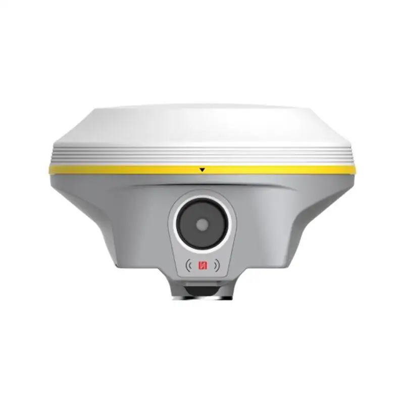
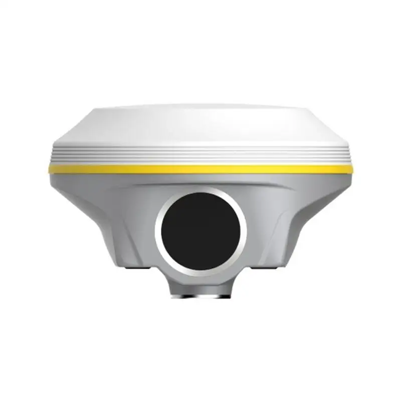
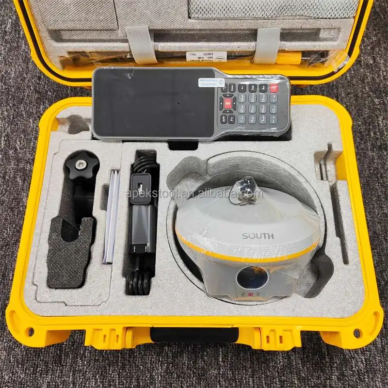
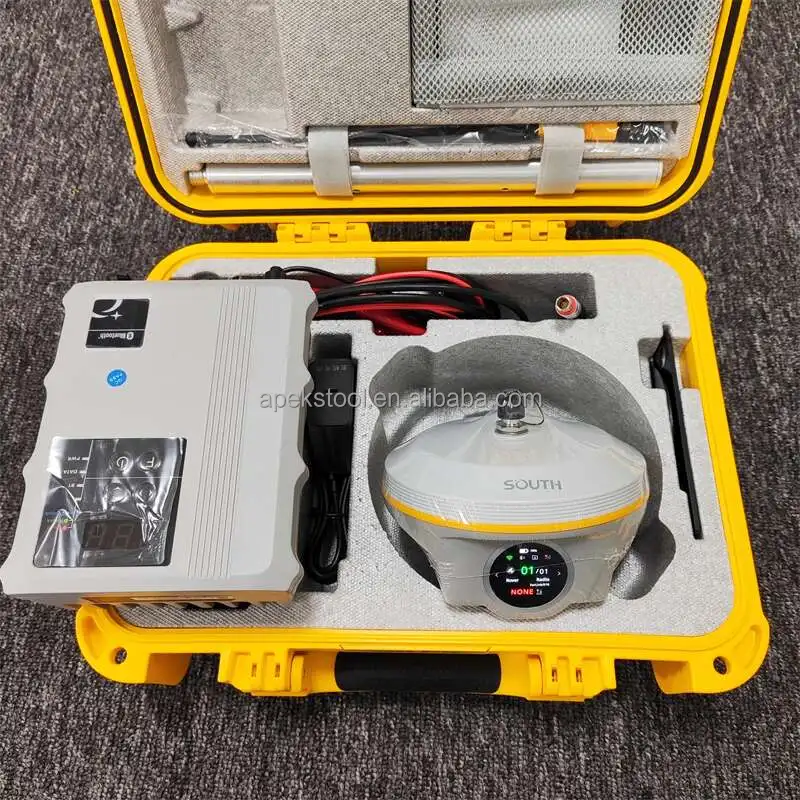
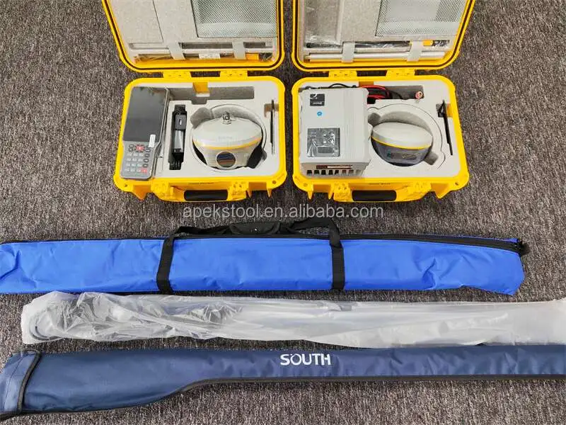
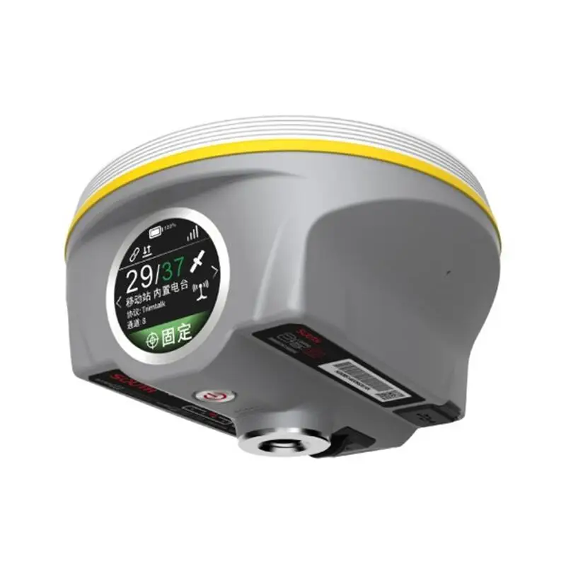
Introducing the Strong Signal Dual Cameras Visual Positioning Stakeout 3D Modeling 1598 Channels Dumpy Level Survey Instrument, the cutting-edge GNSS technology tailored for precision and efficiency in surveying tasks. This instrument is designed to meet the demands of modern geospatial professionals, offering unparalleled accuracy and reliability.

Technical specifications

FeatureSpecificationBenefit
Signal Channels1598 ChannelsEnhanced signal clarity and reliability
Camera SystemDual CamerasImproved visual positioning and accuracy
PositioningVisual & GNSSComprehensive 3D modeling capabilities

Customization guide

With adjustable camera angles and customizable GNSS settings, the South Inno8 can be tailored to meet specific survey requirements, ensuring maximum precision and adaptability in diverse terrain.

Get inspired

Imagine revolutionizing your surveying tasks with a tool that combines dual camera visual positioning with robust GNSS technology. The South Inno8 empowers you to tackle complex projects with ease and accuracy.

Choose your model

ParameterBase ModelAdvanced ModelPro Model
Signal Channels1200[+15%][+30%]*
Camera SystemSingleDualDual Enhanced
Battery Life12 hours15 hours20 hours

Supplier's note

The dual camera system in the Pro version represents a significant breakthrough, offering unparalleled accuracy in visual positioning, enabling precise 3D modeling even in challenging environments. The advanced GNSS capabilities ensure reliable signal reception, making the Pro model ideal for high-precision tasks in dense urban areas or remote locations.

When selecting your model, consider the scope of your projects. The Advanced Model suits professionals seeking enhanced features for medium-scale projects, while the Pro Model, with its extended battery life and superior accuracy, is perfect for large-scale, demanding projects requiring extensive fieldwork.

Frequently asked questions

  • Which model of the South Inno8 GNSS is best for small construction sites?

  • How do I maintain and care for the South Inno8 GNSS survey instrument?

  • Are the materials used in the South Inno8 GNSS FDA-approved?

  • Can I get custom features added to the South Inno8 GNSS?

  • What is the best way to select a South Inno8 GNSS model for office use?

  • How does the South Inno8 GNSS compare to other test instruments in terms of durability?

  • What are the unique features of the South Inno8 GNSS that enhance survey accuracy?

  • Is there a warranty available for the South Inno8 GNSS survey instrument?

Product comparison

CategoryUsage ScenariosCharacteristicsAdvantagesDisadvantages
GNSS Survey InstrumentsConstruction site surveyingDual cameras, 1598 channelsHigh accuracy (±5mm)Complex setup process
(captures precise 3D models)(requires professional training)
Test InstrumentsGeospatial data collectionStrong signal receptionReliable in remote areasBattery life limitations
(maintains connection in dense foliage)(requires frequent recharging)
Positioning EquipmentInfrastructure developmentVisual positioning, RTK technologyReal-time data processingHigh initial investment
(reduces post-processing time)(expensive compared to traditional tools)
Stakeout ToolsLand surveying in urban areas3D modeling capabilityEnhanced visualizationRequires additional software
(improves stakeholder presentations)(for full functionality)
Dumpy Level InstrumentsPrecision leveling tasksRobust designDurable in harsh conditionsBulky and heavy
(withstands rough handling)(difficult to transport)
RTK PolesFieldwork and data collectionAdjustable heightVersatile for various terrainProne to wear and tear
(accommodates user height needs)(requires regular maintenance)

Related searches

The Product Description is generated by third-party, and Alibaba.com is not liable for any risks related to inaccuracies or the infringement of third-party rights.

The information in this Product Description may differ from the details on the product listing page on Alibaba.com. Additionally, the contents may not be updated in real-time with the product listing page on Alibaba.com, and there may be delays in reflecting the most updated information. The description on product listing page takes precedence. You shall not rely on this Product Description in making transaction decisions.

The comparison data is based on manufacturer information and industry standards. Actual results may vary depending on individual use cases. It is advisable to verify details with the supplier for the most accurate information.