All categories
Featured selections
Trade Assurance
Buyer Central
Help Center
Get the app
Become a supplier
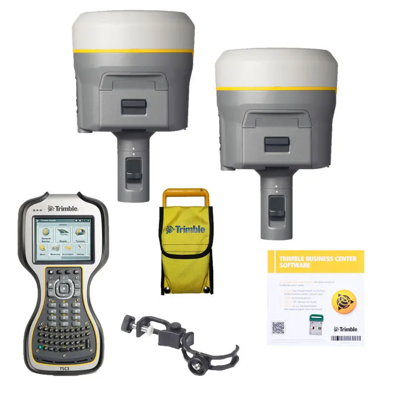
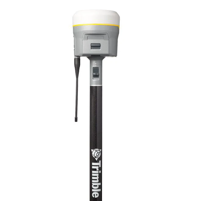
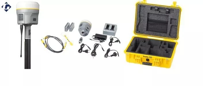
The Trimble GPS R10 is a high-precision handheld surveying instrument designed for professional applications such as topographic mapping, land surveying, and construction layout. Built with weather-resistant materials and featuring multi-constellation satellite compatibility, it delivers sub-centimeter accuracy (1 ppm) for reliable fieldwork in diverse environments.
| Feature | Specification | Application Scenario |
|---|---|---|
| Accuracy | 1 ppm + 1 mm | High-precision land surveying and construction |
| Satellite Systems | GPS + GLONASS + Galileo + BeiDou | Enhanced signal reliability in urban canyons |
| Antenna Material | Conductive metal with carbon fiber pole | Adjustable height for optimal signal reception |
| Data Logging | 100,000+ points storage | Long-term field data collection |
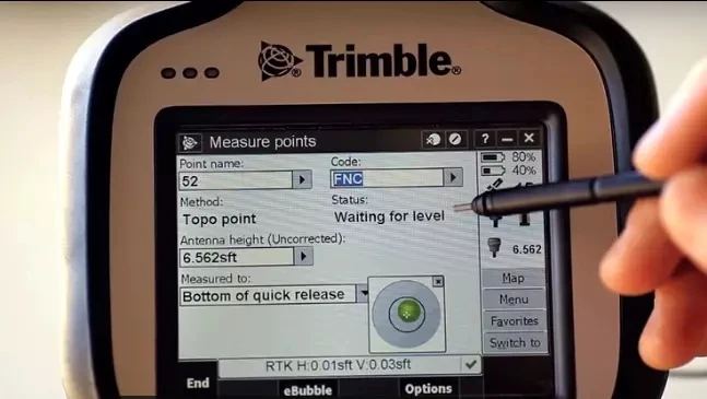
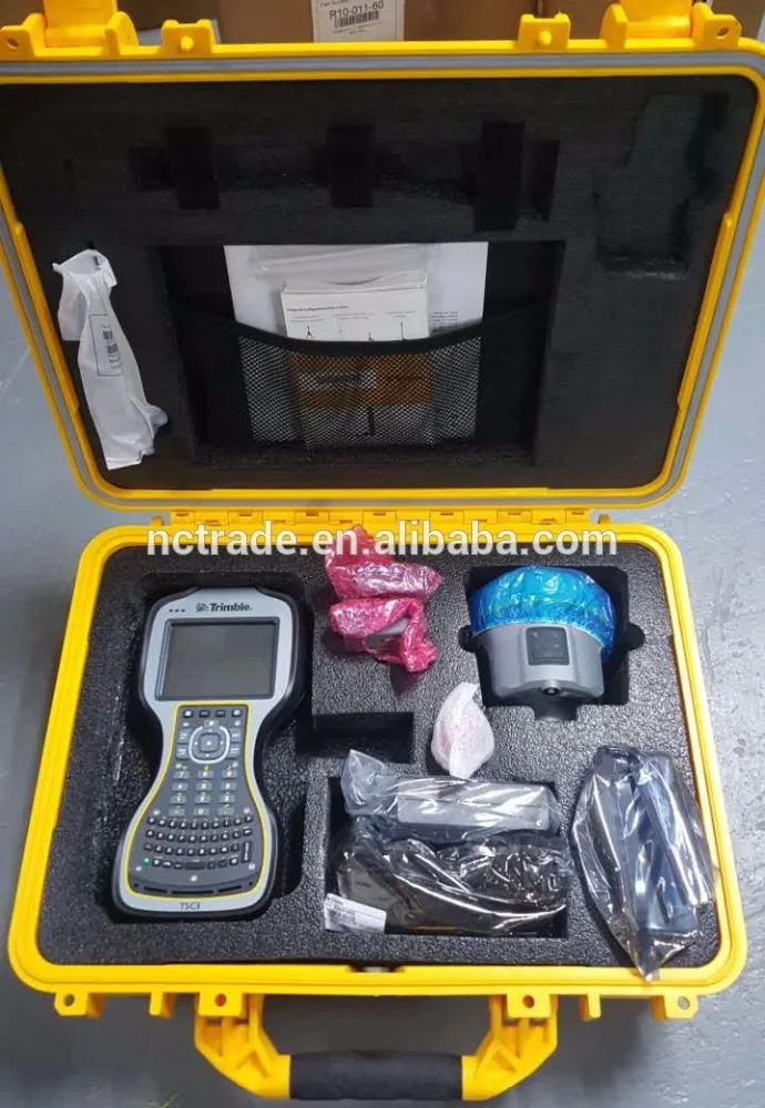
| Software Integration | Trimble Access Field software | Streamlined data analysis and project management |
Adjustable parameters include antenna height (via telescoping pole) and software configurations (e.g., custom data formats) to meet specialized surveying needs.
With Trimble GPS R10’s 1 ppm accuracy and multi-constellation compatibility, professionals can achieve sub-centimeter precision even in challenging environments. Whether mapping rugged terrain or laying out construction sites, this device ensures reliability and efficiency.
| Parameter | Base Model | Advanced Model | Pro Model |
|---|---|---|---|
| Accuracy | 2 ppm + 2 mm | 1.5 ppm + 1.5 mm | 1 ppm + 1 mm (Industry Leading) |
| Satellite Systems | GPS + GLONASS | GPS + GLONASS + Galileo | All 4 constellations |
| Data Logging | 50,000 points | 100,000 points | 200,000+ points |
| Battery Life | 8 hours | 12 hours | 24 hours |
Technical Breakthroughs:
Optimal Version Selection:
With the Pro Model’s 1 ppm accuracy and 24-hour battery life, engineers can complete large-area surveys without recharging, while the multi-constellation capability ensures uninterrupted operation in signal-challenged regions. Pair this with Trimble software’s automated error detection to minimize costly rework.

The Product Description is generated by third-party, and Alibaba.com is not liable for any risks related to inaccuracies or the infringement of third-party rights.
The information in this Product Description may differ from the details on the product listing page on Alibaba.com. Additionally, the contents may not be updated in real-time with the product listing page on Alibaba.com, and there may be delays in reflecting the most updated information. The description on product listing page takes precedence. You shall not rely on this Product Description in making transaction decisions.
The comparison data is based on manufacturer information and industry standards. Actual results may vary depending on individual use cases. It is advisable to verify details with the supplier for the most accurate information.