
Digital Elevation Models (DEMs) are foundational tools in geospatial analysis, used across environmental planning, civil engineering, flood modeling, and landscape ecology. These models represent the Earth's surface as a grid of elevation values, enabling accurate simulations of water flow, erosion, and landform evolution. However, when it comes to man-made structures like bridges and culverts, a common question arises: why aren't these features always removed from DEMs? The answer lies in the balance between data accuracy, modeling objectives, and real-world hydrological behavior.
While removing bridges and culverts might seem logical—after all, they interrupt the natural ground surface—their presence or absence in a DEM significantly affects downstream applications. Understanding when and why these structures are retained reveals critical insights into how modern terrain models serve diverse analytical needs.
The Role of Bridges and Culverts in Terrain Representation
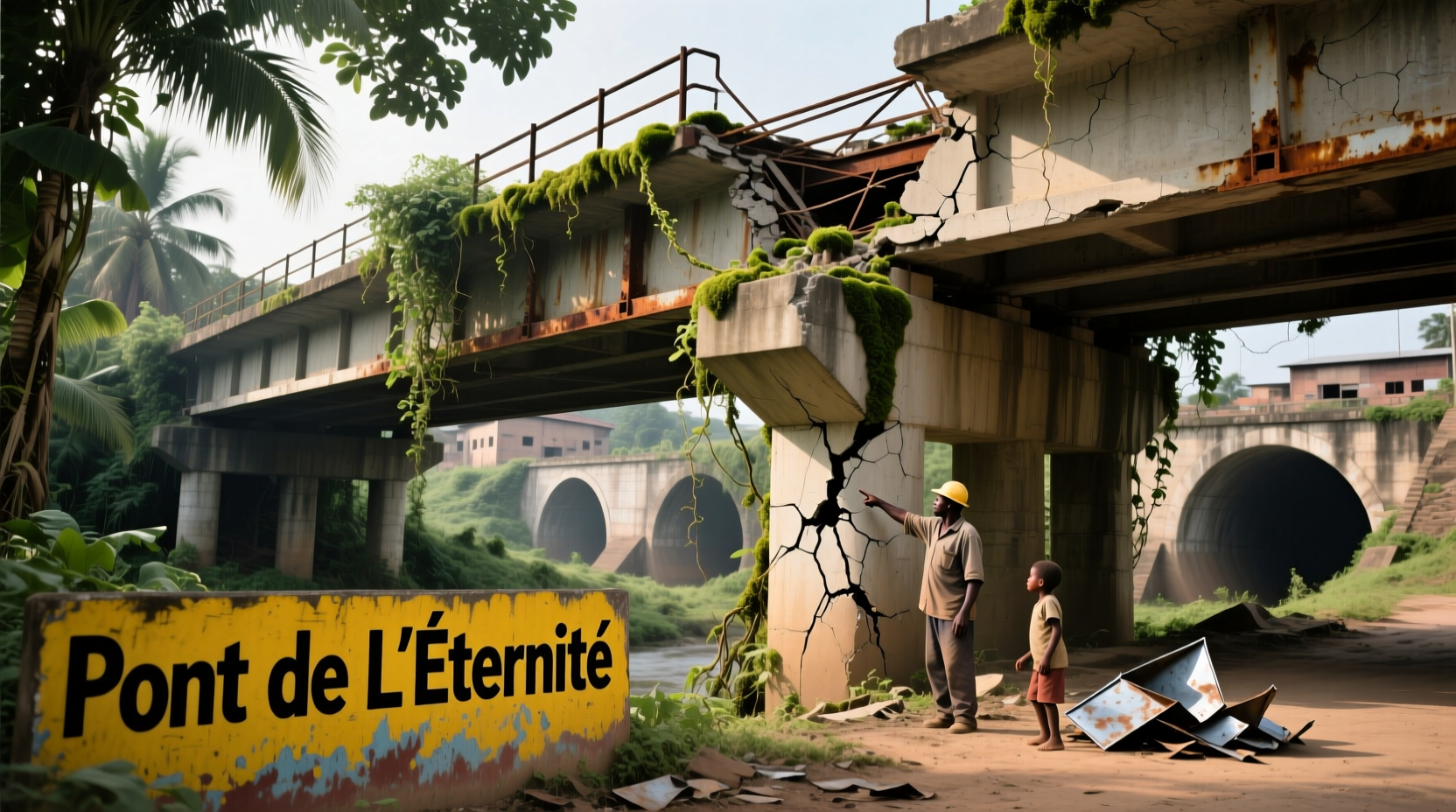
Bridges and culverts are engineered to allow transportation routes to cross over or through natural drainage paths. In raw topographic data collected via LiDAR or photogrammetry, these structures appear as elevated anomalies—bridges raise the surface above the streambed, while culverts create voids beneath road embankments. If left unprocessed, they distort the true bare-earth elevation, potentially leading to inaccurate hydrologic simulations.
Despite this, many DEMs retain these features intentionally. This is because the goal of a DEM isn’t always to represent the “bare earth.” Depending on the application, preserving infrastructure can be more beneficial than removing it. For example, urban flood models may need to account for bridge piers obstructing flow, while regional watershed analyses often require their removal to restore natural drainage patterns.
When Removal Is Necessary: Restoring Natural Hydrology
In hydrologic modeling, particularly for flood prediction and watershed delineation, accurate flow routing is essential. Structures like bridges and culverts disrupt this process by creating artificial dams or sinks in the elevation data. A bridge deck captured in a DEM can block a stream channel, causing modeled water to back up unrealistically or divert incorrectly.
To correct this, GIS professionals perform \"burning in\" streams or use specialized algorithms like ANUDEM or TopoToRaster to modify elevation values along known watercourses. Culverts, though underground, are equally problematic if the embankment above them isn’t lowered appropriately. Without intervention, these features lead to:
- Incorrect watershed boundaries
- Misrepresented stream networks
- Overestimated flood extents
- Flow accumulation errors
Therefore, in high-precision hydrologic studies, bridges and culverts are typically removed or corrected to reflect the actual ground surface beneath them. This process involves integrating vector datasets of stream networks and infrastructure with elevation editing tools to ensure continuous, realistic flow paths.
When Retention Makes Sense: Preserving Real-World Obstructions
Conversely, there are scenarios where keeping bridges and culverts in the DEM improves model fidelity. In urban flood modeling, for instance, bridge abutments and piers act as physical obstructions that influence water velocity and pressure. Removing them would oversimplify the hydraulic behavior during extreme events.
Similarly, culvert capacity limits can cause upstream ponding during heavy rainfall. A DEM that includes the embankment above a culvert—while adjusting internal hydraulics through additional modeling layers—can better simulate such bottlenecks. Engineers designing stormwater systems rely on this level of detail to assess failure risks and optimize infrastructure upgrades.
“Removing every bridge from a DEM without context can do more harm than good. We need to understand *why* the structure exists and how it interacts with water.” — Dr. Lena Torres, Hydrologist at the National Institute for Water Resources
This duality underscores a key principle in geospatial modeling: data processing must align with the end-use objective. A one-size-fits-all approach to feature removal undermines the value of high-resolution elevation data.
Technical Considerations in DEM Processing
The decision to remove or retain bridges and culverts hinges on several technical factors:
- Data Source: LiDAR point clouds distinguish between ground and non-ground returns, but classification errors are common under bridges or within culvert entrances.
- Spatial Resolution: Coarse DEMs (e.g., 30m SRTM) may not resolve small culverts, making removal irrelevant. Fine-scale models (sub-meter) demand greater attention to infrastructure.
- Modeling Software: Tools like ArcGIS Pro, QGIS with GRASS, or HEC-RAS have different capabilities for handling embedded structures.
- Temporal Relevance: Older DEMs may lack updated infrastructure, leading to mismatches with current conditions.
Automated removal techniques exist, such as morphological filtering or conditional interpolation, but they require careful calibration. Blindly applying these methods can erase legitimate terrain features or introduce artificial depressions.
Do’s and Don’ts in Bridge and Culvert Handling
| Scenario | Do | Don’t |
|---|---|---|
| Floodplain mapping in rural areas | Remove bridges and burn in stream channels | Leave bridge decks intact over rivers |
| Urban storm surge simulation | Keep bridge supports and model constriction effects | Assume free-flowing passage under all overpasses |
| Catchment delineation | Use hydro-enforced DEMs with culverts accounted for | Rely solely on raw LiDAR without validation |
| Infrastructure planning | Integrate culvert location and size into hydraulic models | Treat all underpasses as open channels |
Mini Case Study: Flood Modeling in the Cedar River Basin
In 2021, a regional planning agency in the Pacific Northwest undertook a flood risk assessment for the Cedar River Basin. Initial models using an unmodified 5m LiDAR-derived DEM showed severe flooding upstream of a major highway crossing. Upon inspection, the anomaly was traced to a bridge deck that spanned the river—its elevation blocked the modeled flow, creating an artificial dam.
The team reprocessed the DEM by lowering the grid cells beneath the bridge to match the estimated streambed elevation, informed by field survey data and historical cross-sections. After correction, the flood extent shifted dramatically, reducing predicted inundation by 40% in the affected neighborhood. This adjustment prevented unnecessary property buyouts and redirected resources to higher-risk zones.
The case highlights that while structural removal is sometimes essential, it must be grounded in empirical evidence and contextual understanding—not default processing workflows.
Actionable Checklist for DEM Users
- Identify whether your DEM is “first-surface” (includes objects) or “bare-earth” (ground only).
- Overlay known stream networks to detect flow interruptions at crossings.
- Inspect suspicious elevation spikes or pits near roads and railways.
- Consult local infrastructure databases for bridge and culvert locations.
- Apply targeted DEM editing only where hydrologic realism is compromised.
- Validate results with observed flood marks or gauge data when possible.
FAQ
What’s the difference between a bare-earth and first-surface DEM?
A bare-earth DEM represents the ground surface after removing buildings, vegetation, and infrastructure. A first-surface (or “top-of-surface”) DEM includes everything captured by the sensor, such as rooftops, trees, and bridges. Hydrologic models typically require bare-earth data.
Can culverts be accurately represented in a DEM?
Not directly. Culverts are subsurface features and invisible in standard elevation grids. Their impact must be modeled separately using hydraulic parameters and integrated into the simulation through software like HEC-RAS or SWMM.
Are there automated tools to remove bridges from DEMs?
Yes, tools like WhiteboxTools, ArcHydro, and specialized LiDAR processing suites offer bridge detection and removal functions. However, manual verification is strongly recommended due to variable accuracy in complex environments.
Conclusion
The presence of bridges and culverts in DEMs isn’t an oversight—it’s a reflection of purpose-driven data design. Whether to remove or preserve these structures depends on the analytical goal, scale of study, and required precision. Thoughtful processing, informed by domain knowledge and real-world validation, ensures that digital terrain models remain powerful, reliable tools for decision-making.


 浙公网安备
33010002000092号
浙公网安备
33010002000092号 浙B2-20120091-4
Comments
No comments yet. Why don't you start the discussion?