
Rain is one of nature’s most essential phenomena, sustaining ecosystems, replenishing water supplies, and shaping weather patterns across the globe. Yet, despite its familiarity, the full process behind rainfall involves a complex interplay of atmospheric physics, thermodynamics, and geography. Understanding why it rains isn’t just about watching clouds gather—it’s about tracing the journey of water from oceans to atmosphere and back again. This article breaks down the science of rainfall with clarity and depth, offering insight into the mechanisms that bring life-giving water to Earth.
The Water Cycle: Foundation of Rainfall
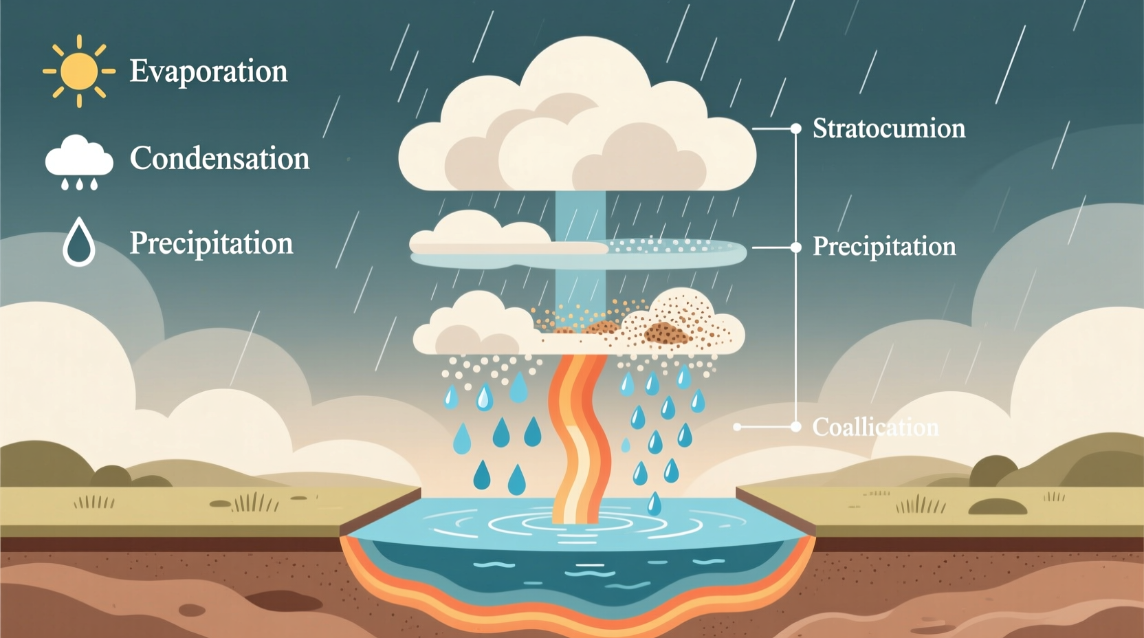
At the heart of all rainfall lies the water cycle—a continuous, planet-wide process that circulates water through evaporation, condensation, precipitation, and collection. This natural recycling system ensures that water is never truly \"used up,\" but rather transformed and relocated.
The cycle begins when solar energy heats surface water in oceans, lakes, and rivers, causing molecules to gain enough energy to escape into the air as water vapor—a process known as evaporation. Plants also contribute through transpiration, releasing moisture from their leaves. Together, these processes account for the bulk of atmospheric humidity.
As warm, moist air rises, it cools due to decreasing atmospheric pressure at higher altitudes. When the air temperature drops to its dew point—the threshold at which air becomes saturated—water vapor condenses around tiny airborne particles like dust or salt, forming microscopic droplets. These accumulate to create clouds.
Cloud Formation and Droplet Growth
Not all clouds produce rain. The ability of a cloud to generate precipitation depends on its type, altitude, temperature, and internal dynamics. Common rain-producing clouds include nimbostratus (thick, gray layers bringing steady rain) and cumulonimbus (towering storm clouds associated with heavy downpours and thunderstorms).
Within these clouds, two primary mechanisms enable tiny droplets to grow large enough to fall as rain:
- Collision-Coalescence Process: In warmer clouds (typically above freezing), larger droplets fall faster than smaller ones, colliding and merging with them. This coalescence gradually builds droplets heavy enough to overcome updrafts and descend.
- Bergeron-Findeisen Process: In colder clouds where ice crystals and supercooled water droplets coexist, ice crystals grow at the expense of liquid droplets due to differences in vapor pressure. These crystals become snowflakes; if they pass through a warm layer below, they melt into raindrops.
The vertical development of clouds plays a crucial role. Strong updrafts in cumulonimbus clouds keep droplets suspended longer, allowing more time for growth before falling. Once gravity exceeds the upward air currents, precipitation begins.
Types of Rainfall: What Drives It?
Rain doesn’t fall uniformly. Different meteorological conditions produce distinct types of rainfall, each with unique formation mechanisms:
| Type of Rainfall | Cause | Typical Regions |
|---|---|---|
| Convectional Rainfall | Intense surface heating causes warm air to rise rapidly, cool, and condense | Tropics, summer afternoons inland |
| Orographic Rainfall | Moist air forced upward by mountains, cooling as it ascends windward slopes | Coastal mountain ranges (e.g., Western Ghats, Andes) |
| Frontal (Cyclonic) Rainfall | Warm and cold air masses meet; warm air rises over denser cold air | Mid-latitudes, especially during seasonal transitions |
Each type demonstrates how topography, temperature gradients, and air mass interactions govern where and when rain occurs. For instance, orographic rainfall creates stark contrasts—one side of a mountain lush and wet, the other dry and arid, known as a rain shadow.
Real Example: The Western Ghats Monsoon Pattern
During India’s monsoon season, moisture-laden winds from the Arabian Sea hit the Western Ghats, a north-south mountain chain along the west coast. As the air rises, it cools rapidly, producing heavy orographic rainfall on the windward side. Towns like Cherrapunji and Mawsynram receive some of the highest annual rainfall totals globally. Just 50 kilometers east, however, the Deccan Plateau lies in the rain shadow, receiving significantly less precipitation—an everyday illustration of how terrain shapes rainfall distribution.
Factors Influencing Rain Intensity and Duration
Why do some rains last minutes while others drench regions for days? Several factors determine the character of a rainfall event:
- Atmospheric Instability: Greater instability leads to stronger convection and heavier showers.
- Moisture Availability: Proximity to large water bodies increases humidity and potential rainfall volume.
- Wind Shear: Changes in wind speed/direction with height can sustain storm systems, prolonging rain.
- Urban Heat Islands: Cities retain heat, enhancing local convection and sometimes intensifying rainfall downwind.
Climate change is also altering historical patterns. Warmer air holds more moisture—about 7% more per degree Celsius of warming—leading to more intense rainfall events even if total annual precipitation doesn’t increase.
“We’re seeing a clear trend: extreme rainfall events are becoming more frequent and severe due to climate-driven increases in atmospheric moisture.” — Dr. Lin Zhao, Climate Scientist, National Center for Atmospheric Research
Step-by-Step: How a Rainstorm Develops
To visualize the process, consider a typical afternoon thunderstorm in a temperate region:
- Solar Heating: Sunlight warms the ground, heating the air just above it.
- Thermal Updrafts: Warm air rises, carrying evaporated moisture into the atmosphere.
- Condensation: Rising air cools adiabatically; vapor condenses into visible cumulus clouds.
- Cloud Maturation: With sustained updrafts, the cloud grows vertically into a cumulonimbus tower.
- Droplet Aggregation: Collision-coalescence or ice crystal processes form raindrops.
- Precipitation: Drops become too heavy to be supported and fall as rain.
- Storm Dissipation: Downdrafts spread out, cutting off warm inflow; rain tapers off.
This entire sequence can unfold within an hour, though large-scale frontal systems may persist for days.
Frequently Asked Questions
Can it rain without clouds?
No—rain must originate from clouds, as they are the only structures containing sufficient condensed water droplets or ice crystals to produce precipitation. However, light rain may appear to fall from clear skies if it evaporates before reaching the ground (virga) or blows in from distant storms.
Why does rain smell different after a dry spell?
The earthy scent known as *petrichor* comes from oils released by plants during dry periods and compounds produced by soil-dwelling bacteria like *Streptomyces*. When rain hits dry ground, these substances aerosolize, creating the familiar fresh smell.
Is all rain freshwater?
Yes. Even when formed from ocean evaporation, rain is distilled water—only pure H₂O molecules rise into the atmosphere. Salt and impurities are left behind. However, as rain falls through the air, it can absorb pollutants, making urban rain slightly acidic.
Actionable Tips for Observing Rain Patterns
- Note wind direction: Onshore winds often carry more moisture.
- Watch cloud types: Towering cumulus or darkening nimbus clouds signal approaching rain.
- Use free apps or websites to view radar loops and see storm movement in real time.
- Keep a simple rain journal—record date, duration, intensity, and sky conditions to identify local patterns.
Conclusion: Embracing the Rhythm of Rain
Rain is far more than a weather inconvenience—it’s a vital component of Earth’s life-support system. From the invisible dance of water molecules to continent-spanning storm fronts, the science behind rainfall reveals a planet in constant motion. By understanding how and why it rains, we gain deeper appreciation for the delicate balance of nature and the forces shaping our daily lives.


 浙公网安备
33010002000092号
浙公网安备
33010002000092号 浙B2-20120091-4
Comments
No comments yet. Why don't you start the discussion?