All categories
Featured selections
Trade Assurance
Buyer Central
Help Center
Get the app
Become a supplier
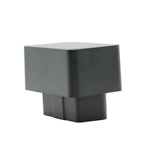
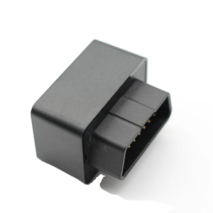
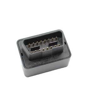
(9206 products available)


A quality positioning system is a system used to determine the position of an object or a person. There are different types of quality positioning systems, including the following.
Global Navigation Satellite System (GNSS)
GNSS is a satellite-based system that provides accurate position information anywhere on Earth. It has several satellite systems, including GPS, GLONASS, Galileo, and BeiDou, that work together to provide precise and reliable positioning information. GNSS has different applications, including geodesy, autonomous vehicles, and aviation.
Real-Time Kinematic (RTK) Positioning
RTK positioning is a GNSS surveying technique that uses measurements of the GPS signals of the satellites in view. It processes the measurements in real time to provide accurate position information. This technique provides centimeter-level accuracy, making it suitable for applications that require high precision, such as land surveys and agriculture.
Carrier Phase Differential GNSS (CDGNSS)
CDGNSS is a positioning technique that uses the carrier signal phase of GNSS satellite signals for positioning. It calculates the difference in the carrier phase between the signals received at two or more stations. Then it uses the difference to determine the position of the unknown station with high accuracy. This technique provides millimeter-level accuracy and is used in applications like structural monitoring and scientific research.
Inertial Navigation Systems (INS)
INS is a positioning system that calculates the position of a moving object based on its acceleration and velocity. It uses accelerometers and gyroscopes to measure the object's motion and calculate its position relative to a known starting point. This system provides accurate position information in real time, making it suitable for applications such as robotics, aerospace, and navigation in GPS-denied environments.
Local Area Augmentation System (LAAS)
LAAS is a satellite-based augmentation system that improves GNSS positioning accuracy and reliability. It uses ground reference stations to monitor GNSS signals and correct errors in real time. Then it broadcasts the corrections to users within a specified area. This system provides high-precision positioning for applications such as airport landing systems and advanced driver assistance systems.
The specifications of quality positioning systems depend on the type and application of the system. Here are some general specifications for a quality positioning system:
Accuracy
Quality positioning systems provide accurate location information. The accuracy depends on the environmental conditions and the type of technology being used.
Coverage
The quality positioning system has a wide coverage area to provide location information over a large area. The coverage area may differ according to the type of technology being used.
Reliability
Quality positioning systems are reliable and provide consistent location information. The system is not affected by environmental conditions or internal interferences.
Security
Quality positioning systems have security features to protect the system from unauthorized access. The security features include encryption and authentication.
Scalability
Quality positioning systems are scalable and can be expanded to meet the increasing demands of the application. The system supports additional sensors and can be easily integrated into other systems.
Power consumption
Quality positioning systems have low power consumption. The systems are designed to operate for long periods on battery power.
Data integration
Quality positioning systems allow data integration from different sources. The integrated data can be used for analysis and decision-making.
The maintenance of quality positioning systems is vital to ensure accuracy and reliability. The following are some general guidelines for maintaining quality positioning systems:
Regular calibration
The sensors used in quality positioning systems need to be calibrated regularly. This helps to ensure the accuracy of the measurements taken by the sensors.
Cleaning
The sensors and other components of the quality positioning system should be cleaned regularly. This helps to remove dust and other particles that may affect the performance of the system.
Software updates
The software used in quality positioning systems should be updated regularly. The updates usually provide new features, improvements, and bug fixes.
Check the power supply
The power supply of the quality positioning system should be checked regularly. This helps to ensure that the system operates continuously and does not lose power.
Environmental conditions
The environmental conditions in which the quality positioning system operates should be monitored. Extreme environmental conditions can affect the performance of the system.
System inspection
The quality positioning system should be inspected regularly. This helps to detect faults and take corrective actions promptly.
Training
The personnel maintaining quality positioning systems should be trained. This helps to ensure that the system is maintained according to the required standards.
There are several factors to consider when choosing a quality positioning system, some of which include;
Here are the steps on how to DIY and replace quality positioning systems:
Q1: What is the difference between quality GPS and surveying GPS?
A1: The main difference between the two is accuracy. The quality surveying GPS can provide centimeter-level accuracy, while the quality positioning system can provide meter-level accuracy.
Q2: Can a smartphone be used as a quality GPS?
A2: Yes, many smartphones have built-in quality GPS receivers that can be used for everyday navigation and location-based services.
Q3: What are the advantages of a quality GPS?
A3: The advantages of quality positioning systems include their availability, reliability, accuracy, and versatility. They can provide detailed navigation and location information.
Q4: What are the limitations of quality GPS?
A4: Limitations of quality GPS include signal interference, dependence on satellite signals, atmospheric conditions, and limited resolution and accuracy.