All categories
Featured selections
Trade Assurance
Buyer Central
Help Center
Get the app
Become a supplier
(1079 products available)


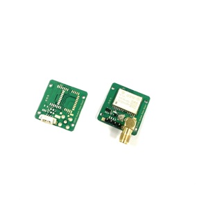
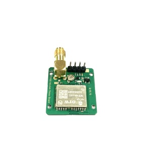
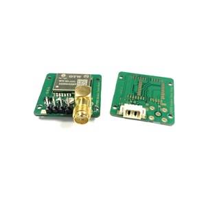
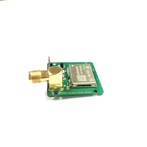
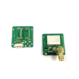
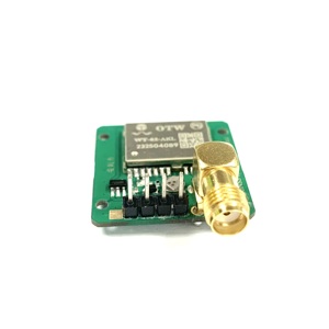


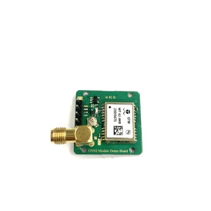
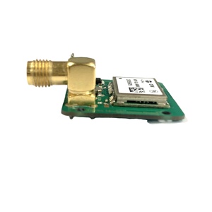
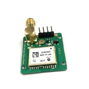


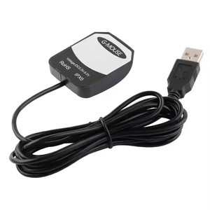
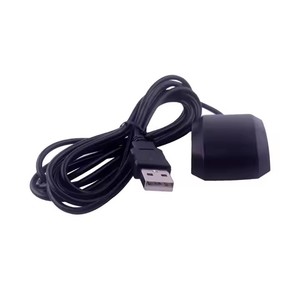
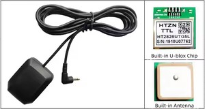
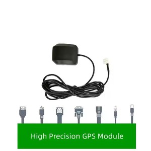
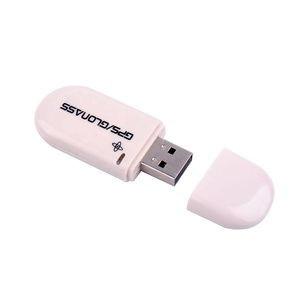


A GPS Linux USB dongle is an external device that provides GPS assistance to a Linux system. Dongles work by receiving signals from satellites and then processing this information to obtain accurate location data, which is subsequently sent to the connected device through a computer's USB port. This kind of GPS is preferred by many due to its portability and ease of use.
Linux USB GPS dongles are available in many types.
Consumer-grade GPS receivers:
These are general information receivers commonly used for hobbies, outdoor activities, and travel. They are usually easy to use and come with friendly interfaces. Some consumer-grade GPS receivers may come with added features like tilt compensation, Bluetooth connectivity, and electronic compass.
Marine GPS receivers:
Marine GPS receivers are usually built tough to withstand the marine environment. They are used in activities like fishing, boating, and other marine endeavors. Marine GPS are carefully constructed to withstand water submersion, shock from impact and severe temperatures. When using a GPS dongle for Linux in a marine environment, it is essential to ensure the device is compatible with marine applications and can withstand the conditions.
Handheld GPS devices:
These are portable devices that can be used in many outdoor areas like hiking, geocaching, and camping. They are built to be portable and lightweight, with features like mapping, route planning, and waypoints. Handheld devices usually come with screens which allow for easy viewing of maps and location information.
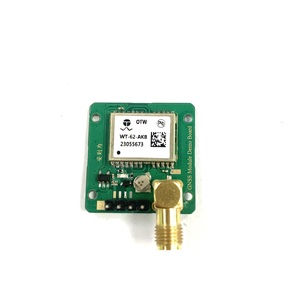
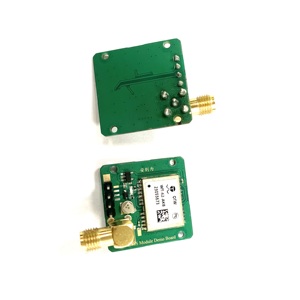
GPS Modules for Embedded Systems:
Embedded systems use GPS modules to include location capabilities within applications like robotics, automation, and development. The module consists of a GPS antenna, receiver, and software needed for location services. While this kind of GPS may not be directly connected to a Linux system, it can still be integrated with one.
Bluetooth-enabled GPS receivers:
These types of GPS receivers can send location data to a Linux system through a Bluetooth connection. They are usually used for portability and flexibility and can easily be connected to the Linux system wirelessly. When looking for a GPS for Linux, one with a Bluetooth connection can be preferred.
GPS Antennas:
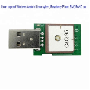
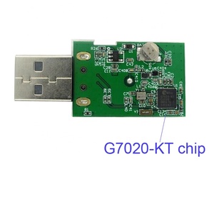
The main aim of a GPS antenna is to receive satellite signals. A typical antenna consists of a ground plane, a feed point, a radome, and a connector. The block diagram of a GPS antenna shows how each part works together to convert RF signals to a digital output that a GPS receiver can use. Antennas for GPS Linux USB dongles are built with features to enhance signal reception and can include various designs like blade-style and patch antennas.
Operating System Compatibility:
Though it may seem limiting, a GPS device for Linux can work well. It is crucial to check if the GPS dongle works with the particular version of the Linux operating system in use, such as Ubuntu, Fedora, or others. Also, compatibility with other operating systems like Windows and MacOS will give more choices in case one decides to switch the OS later. Dongles often have compatibility listed on their information, allowing one to pick ones that will work with their preferred Linux version and any other operating systems they may use.
Open Source Software:
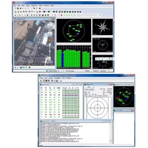
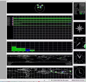
Using a USB GPS dongle on Linux works well because of open-source software possibilities. Programs like Gpsd take data from the GPS dongle and share it with other apps. Then mapping and tracking apps can show the location. Gpsd works with many Linux programs, including those for maps, tracking, routes, and geography. Some examples are: Gnome Maps - For displaying the current place on a map. QGIS - A detailed mapping and geography program. Viking - An app for mapping who tracks paths and places. OpenStreetMap - A free map with open data. The software works with many kinds of GPS. This lets users get location data on Linux from GPS dongs, whether using Open Source or other compatible apps. Having programs like Gpsd means Linux users can utilize GPS technology for mapping and tracking.
Data Accuracy:
GPS dongles are generally reliable for getting location information. But accuracy can depend on factors like the antenna and environment. Handheld units may need to be outside, away from buildings and trees, for best accuracy. Laptop dongles also need to be positioned well. The GPS signal can be blocked by strong interference from tall structures, heavy clouds, or inside buildings. Also, older models may not get signals from newer satellites as well. Most GPS systems give approximate positions that are okay for most uses, but precise work like surveying may need a high-quality handheld unit used under good conditions. Checking the manual helps users know what to expect from their specific dongle.
Linux Community Support:
Using GPS on Linux relies a lot on the helpful community of volunteers that make free programs. These devoted users answer questions on websites about Linux and mapping software, ensuring people can get support and advice. They wrote Wiki pages explaining how to install and use GPS tools, like setting up Gpsd to work with different dongles. Community forums allow learning from others' experiences fixing problems that may arise. People share their knowledge about compatible GPS dongles and which open-source mapping software works best. This collaboration gets Linux users up and running with accessible GPS because of shared free resources. The community presence fosters contribution, ensuring that everyone has a means of accessing helpful support. Dongle makers may not provide full help on Linux, so the community plays a big role in integrating GPS into the operating system by freely sharing their insights and encouraging collaboration.
The global GPS market is expected to reach $470 billion by 2030. This is proof that the GPS industry is growing, and there is extensive demand for GPS tracking systems. USB GPS dongles can be an important part of this equation. They have many applications that can help different industries boost their productivity and efficiency.
Geographic and Geologic Surveys
GPS is an important part of mapping professionals, geologists, or environmental scientists that carry out fieldwork in remote areas. A USB GPS Linux system will give accurate location data even in areas with no cellular coverage. The real-time tracking will also improve workflow and efficiency.
Agriculture
Precision farming uses GPS to improve agricultural practices. Farmers can work better in field mapping, crop monitoring, and variable rate applications. USB GPS devices can help with such applications by providing reliable position data at a low cost.
Municipal Management and Environmental Protection
GPS systems can help local governments and environmental protection groups monitor and manage public assets. They can map utilities, track public vehicles, and even carry out environmental protection tasks like wildlife monitoring.
Military and Defense Applications
The military also uses GPS for many applications. Search and rescue missions are an essential part of military defense operations. GPS-enabled devices can help locate personnel and coordinates affected areas to provide timely assistance. Logistics is very important in defense operations. Military logistics uses GPS for transportation, supply chain management, and equipment movement tracking.
Transportation and Fleet Management
Australian truck drivers lose $3.7 billion yearly due to poor productivity. Fleet managers can reduce such losses by using GPS-enabled systems to monitor driver behavior and implement policies to promote fuel-efficient driving.
GPS systems can help operators detect idling times and promote corrective action. Idling contributes to excessive fuel consumption, and by maintaining a proper vehicle operating condition, one can reduce gas usage.
Construction and Heavy Equipment
Construction managers can use GPS systems to monitor the position of workers and enhance safety. Identifiable badges equipped with a GPS tracking system can help managers pinpoint a person's location on the construction site. Quick-response teams can be dispatched to areas with reported safety incidents.
When purchasing a GPS USB dongle for Linux systems, there are some crucial aspects to consider to make sure it works well and has the features required.
Q: What is USB dongle GPS?
A: A USB dongle GPS, also known as a USB GPS receiver, is a device that connects to a computer or laptop via a USB port. It works as a GPS tool to provide accurate location and tracking information. The term 'dongle' refers to the small form factor of the device, which can easily plug into the USB port of an electronic device.
Q: How does a GPS USB dongle work?
A GPS USB dongle works by receiving signals from GPS satellites orbiting the Earth. It processes these signals to determine its location, speed, and direction of movement. The dongle then sends this information to the computer or laptop through the USB connection. The GPS dongle can be used for various purposes, such as mapping, navigation, and tracking.
Q: What are the benefits of using a GPS USB dongle?
A GPS USB dongle offers real-time location data, which is essential for mapping and navigation. It is accurate and convenient to use on computers and laptops. The GPS dongle is also portable, so it can be used on devices anywhere the internet is available. It can be used for various applications, including geo-fencing, vehicle tracking, and route optimization.
Q: Can the USB dongle GPS work offline?
A: Yes, the USB dongle GPS can work offline once the satellite signals are locked. Unlike internet-based mapping systems, it does not require an online connection to function. However, downloading and updating maps for offline use may require an internet connection initially. When in offline mode, users may only access pre-downloaded maps and navigation data.