
Winter brings beauty, but also uncertainty. One of the most common—and often frustrating—questions during colder months is simple: “How much snow will we actually get?” While modern meteorology has made great strides in forecasting, snow predictions remain complex due to atmospheric variability, regional terrain, and model limitations. Understanding how snowfall forecasts are created, interpreted, and adjusted can help you make better decisions about travel, safety, and daily planning.
The Science Behind Snowfall Predictions
Snowfall forecasts rely on a combination of numerical weather prediction (NWP) models, real-time observational data, and expert meteorological interpretation. Global models like the GFS (Global Forecast System) and the European ECMWF simulate atmospheric behavior using mathematical equations that account for temperature, humidity, wind, pressure, and moisture transport.
When a storm system approaches, forecasters analyze whether conditions support snow formation. The critical factor isn’t just cold air—it’s the depth and consistency of sub-freezing temperatures through the atmosphere. A warm layer near the surface can turn snow into sleet or rain, even if upper levels are cold enough for snow.
Additionally, the amount of moisture available determines potential accumulation. A strong storm with limited moisture may produce only light snow, while a weaker system tapping into a moist air mass could yield significant totals. This interplay makes precise forecasting challenging beyond a few days out.
“We can predict storm tracks with increasing accuracy, but small shifts in temperature or moisture can mean the difference between six inches and none.” — Dr. Lydia Chen, Senior Meteorologist at the National Weather Service
Interpreting Forecast Models: Strengths and Limitations
Different weather models offer varying perspectives on storm development and snowfall. The ECMWF is often considered more accurate for long-range forecasts, while the GFS updates more frequently and sometimes captures evolving trends earlier. Regional models like the NAM (North American Mesoscale) provide higher resolution but cover shorter timeframes.
Forecasters don’t rely on a single model. Instead, they use ensemble forecasting—running multiple simulations with slight variations in initial conditions—to assess confidence levels. If most ensemble members show similar outcomes, confidence in the forecast increases. When results diverge widely, uncertainty grows.
Common Forecast Challenges
- Lake-effect snow: Highly localized and difficult to predict beyond 24 hours, especially around the Great Lakes.
- Temperature gradients: A difference of just 2–3°F can shift precipitation from snow to rain along a narrow band.
- Timing: A storm arriving two hours earlier or later can change accumulation patterns significantly, especially during marginal temperature conditions.
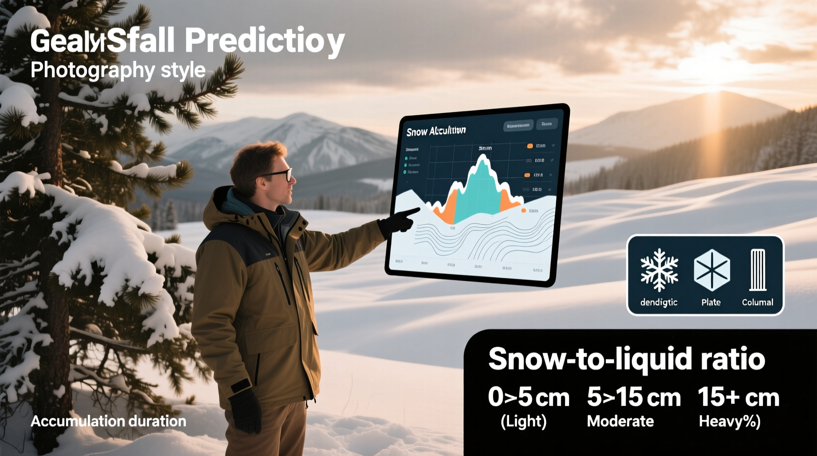
- Snow-to-liquid ratio: Not all snow is equal. Fluffy powder may measure 15:1 (15 inches of snow per inch of water), while wet snow can be as low as 5:1.
What the Numbers Mean: Decoding Snowfall Totals
When a forecast calls for \"6–12 inches,\" it doesn't mean every location within the area will see that range. These numbers represent expected accumulations in the highest-impact zones, typically where dynamics align best—such as enhanced lift near mountains or coastal bands.
Urban areas may receive less due to the heat island effect, while elevated regions or western slopes might exceed predictions. Always consider your specific microclimate: valleys, hilltops, and proximity to large bodies of water all influence local snowfall.
| Snowfall Amount | Impact Level | Typical Response |
|---|---|---|
| 1–3 inches | Minor | Plowing begins; minimal travel disruption |
| 4–7 inches | Moderate | Widespread plowing; delays possible |
| 8–12 inches | Significant | School/business closures likely; hazardous travel |
| 12+ inches | Major | Emergency alerts; high risk of power outages |
Step-by-Step Guide to Evaluating a Snow Forecast
To make informed decisions, follow this timeline-based approach when monitoring an approaching winter storm:
- 5–7 Days Out: Identify potential systems. Look for agreement among models. At this stage, focus on likelihood rather than specifics.
- 3–4 Days Out: Assess track, intensity, and timing. Note if models converge or diverge. Watch for mentions of snow potential in official outlooks.
- 2 Days Out: Evaluate snowfall ranges issued by local NWS offices. Pay attention to timing windows and transition points (e.g., snow to ice).
- 24 Hours Out: Monitor hourly precipitation type maps. Determine peak snowfall periods and road conditions expected during commute times.
- During the Event: Use radar and road reports to adjust plans in real time. Be alert for sudden changes in intensity or precipitation type.
Real-World Example: The Northeast Nor’easter of 2022
In January 2022, a powerful nor’easter approached the U.S. East Coast. Initial models showed a wide spread in storm track—one keeping it offshore, another bringing it directly into New Jersey. Early forecasts varied from 2 to 18 inches across the I-95 corridor.
By three days before landfall, the ECMWF and GFS began converging on a track closer to shore. The National Weather Service upgraded parts of Connecticut and Rhode Island to “potential major snow event.” However, temperatures near the coast remained close to freezing.
When the storm arrived, inland areas received 14–18 inches as predicted, but coastal cities like Providence saw only 6–8 inches due to a shallow warm layer that changed snow to sleet during peak hours. This case illustrates how model consensus improves with time—but fine-scale details still hinge on last-minute atmospheric nuances.
Essential Checklist Before a Snowstorm
Use this checklist to prepare based on forecasted snowfall:
- Check your local NWS forecast and winter weather alerts
- Review school and workplace closure policies
- Stock up on essentials (food, water, medication) 24–48 hours in advance
- Ensure heating systems are functional and fuel supplies are adequate
- Prepare snow removal tools (shovels, ice melt, generator if needed)
- Charge phones and backup power banks
- Plan alternative routes or remote work options if travel is unavoidable
Frequently Asked Questions
Why do snow forecasts change so much?
Snowfall depends on delicate balances between temperature, moisture, and storm track. Small errors in any of these variables amplify over time. As new data comes in—especially from weather balloons and satellites—forecasts are updated to reflect improved understanding.
Is it better to trust local meteorologists or national apps?
Local meteorologists often provide more nuanced analysis tailored to regional quirks. National apps may oversimplify or rely solely on raw model output without adjustment. For serious winter events, prioritize updates from trusted local TV meteorologists or National Weather Service offices.
How accurate are snow forecasts 7 days in advance?
Seven-day forecasts give a general idea of storm potential but should not be used for detailed planning. Accuracy improves significantly within 72 hours. Beyond five days, focus on trend direction (increasing chance of snow) rather than exact totals.
Final Thoughts: Staying Informed and Ready
Snowfall predictions are not perfect, but they are far more reliable today than in past decades. By understanding how forecasts are built, recognizing the role of uncertainty, and using trusted sources, you can navigate winter storms with greater confidence.
Don’t wait until the snow starts falling to decide how to respond. Build habits of checking credible forecasts regularly during winter months, keep emergency supplies ready, and respect the variability inherent in weather science. The goal isn’t predicting the exact inch—it’s making smart choices with the best information available.


 浙公网安备
33010002000092号
浙公网安备
33010002000092号 浙B2-20120091-4
Comments
No comments yet. Why don't you start the discussion?